Exploring Mayan Ruins and Mountain Pine Ridge Reserve in Belize

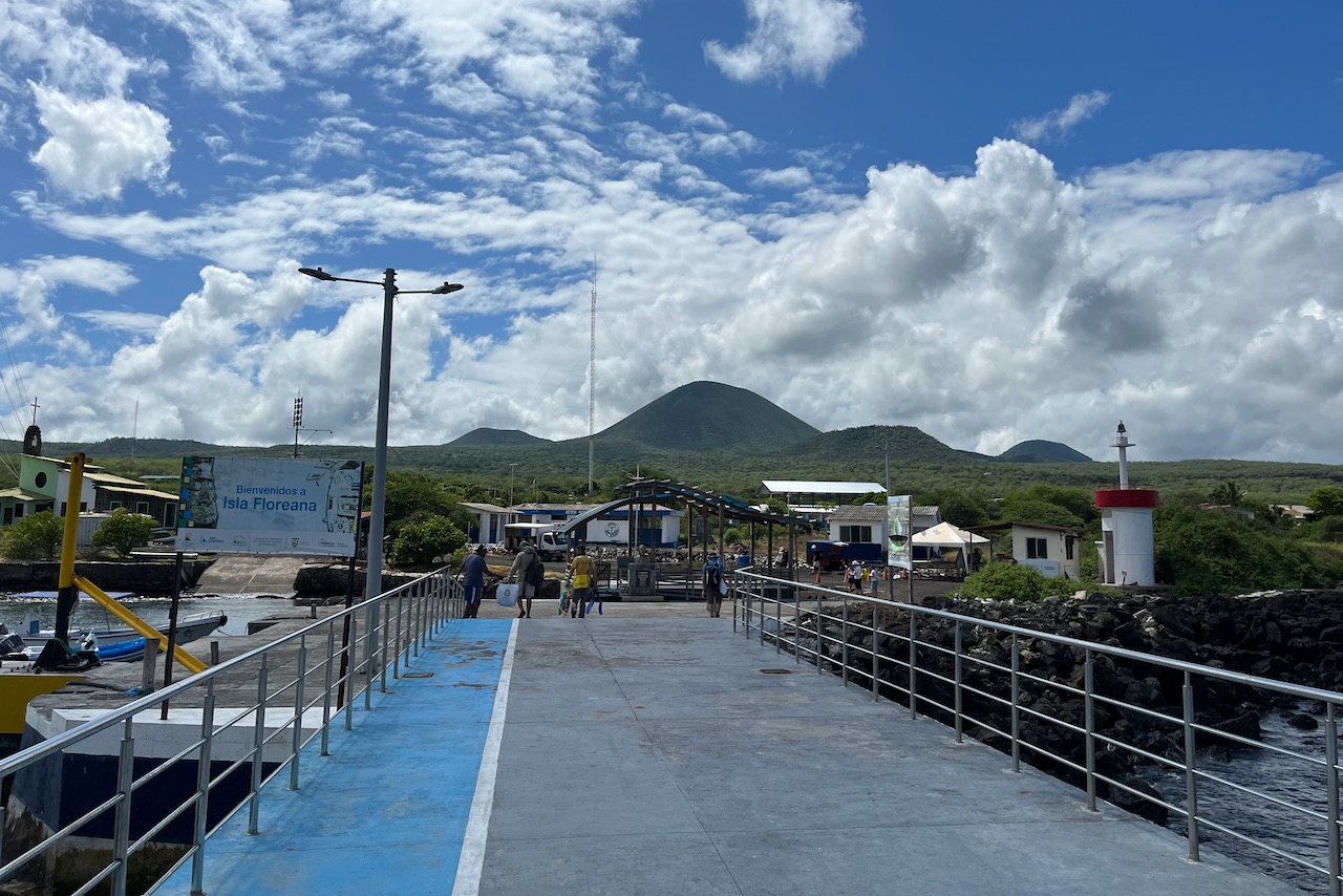
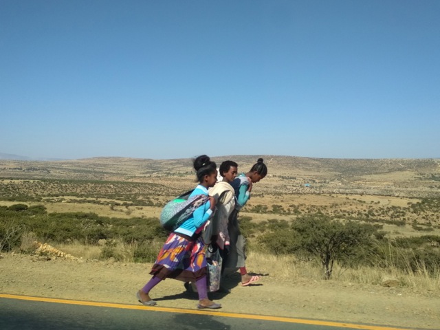
Before and after our dive trip in Belize we explored the top side covering most major Mayan ruins in the country. Belize has impressive history and ruins from Maya period. Unlike Mexico, the sites were not crowded at all, sometimes we had a site to ourselves. One can also climb many of the pyramids still.

The first site we went to was Lamanai. We went in the morning and got back in time to board our liveaboard by late afternoon.

River view on the way to Lamanai, Belize

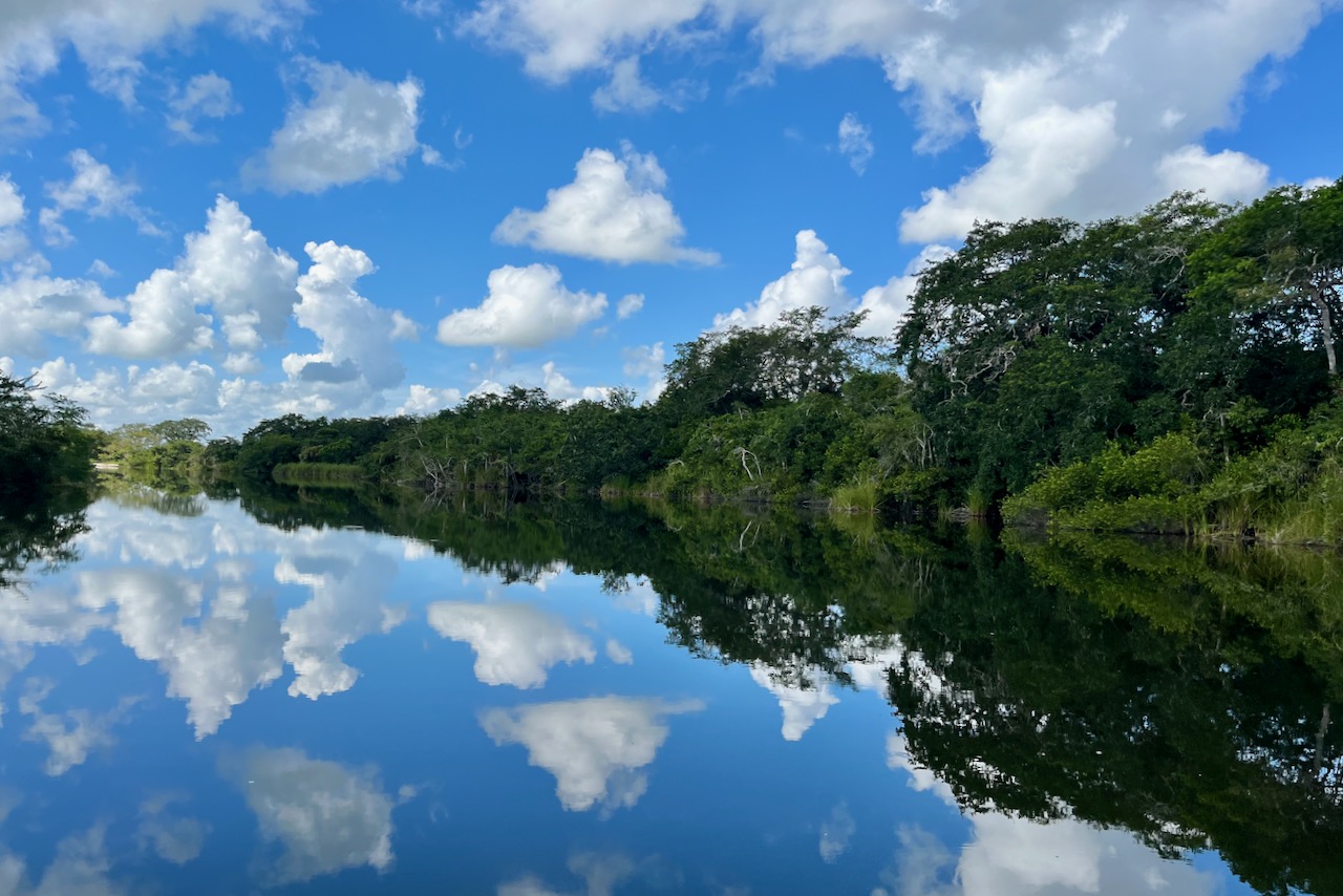
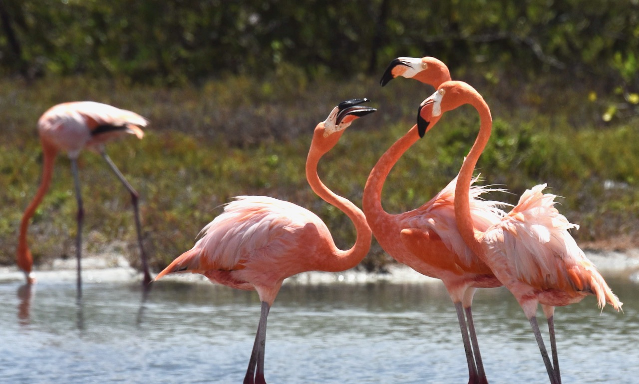
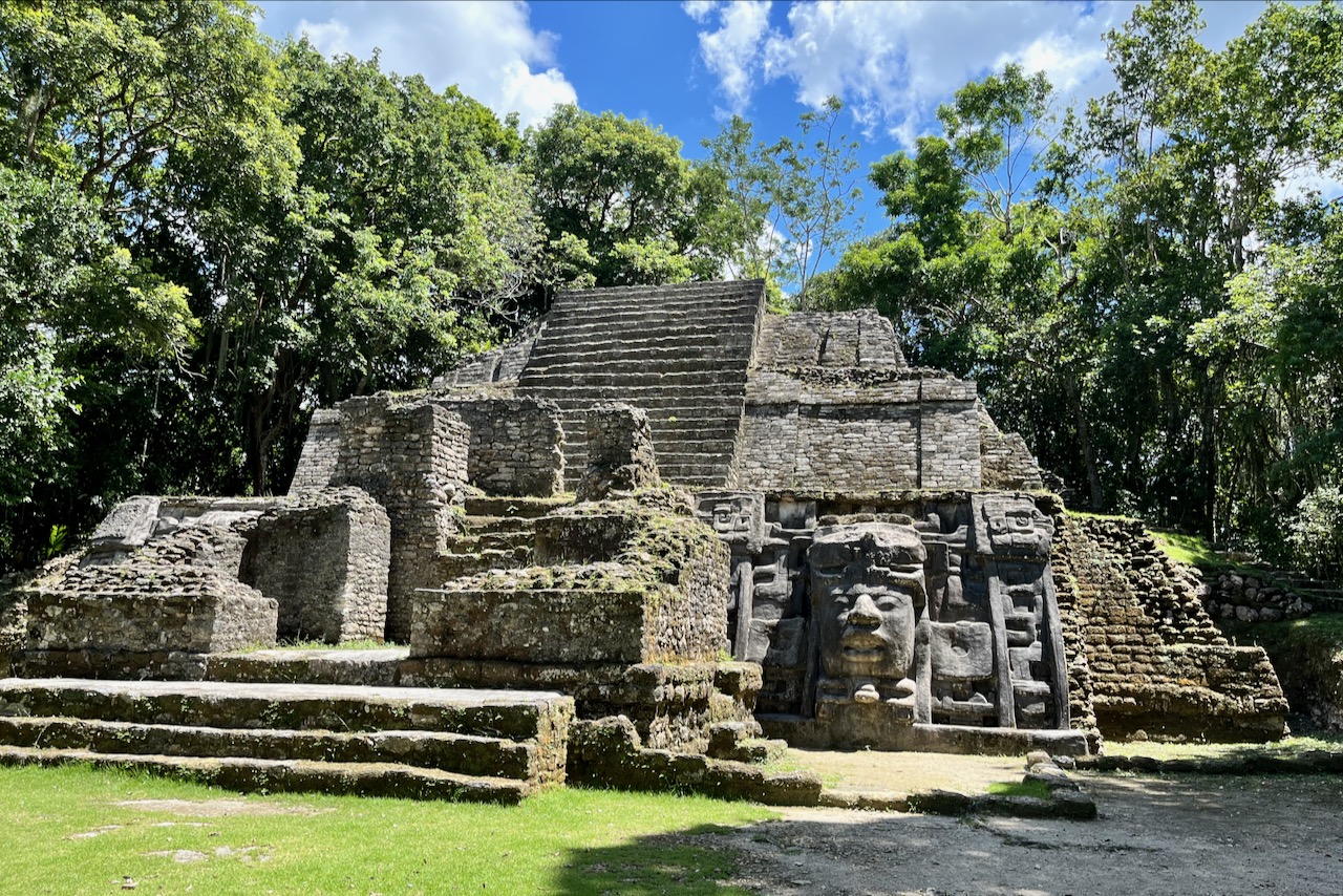
Lamanai site is located on a shore of the New river. Most tours access it by boat from the town of Orange walk. Boat ride is very picturesque and we saw a couple of crocodiles and some nice birds on the way. Site is partially excavated and has a couple of pyramids one can climb. Lamanai is one of the longest continuously occupied sites – people lived here over 3 thousand years.

Lamanai

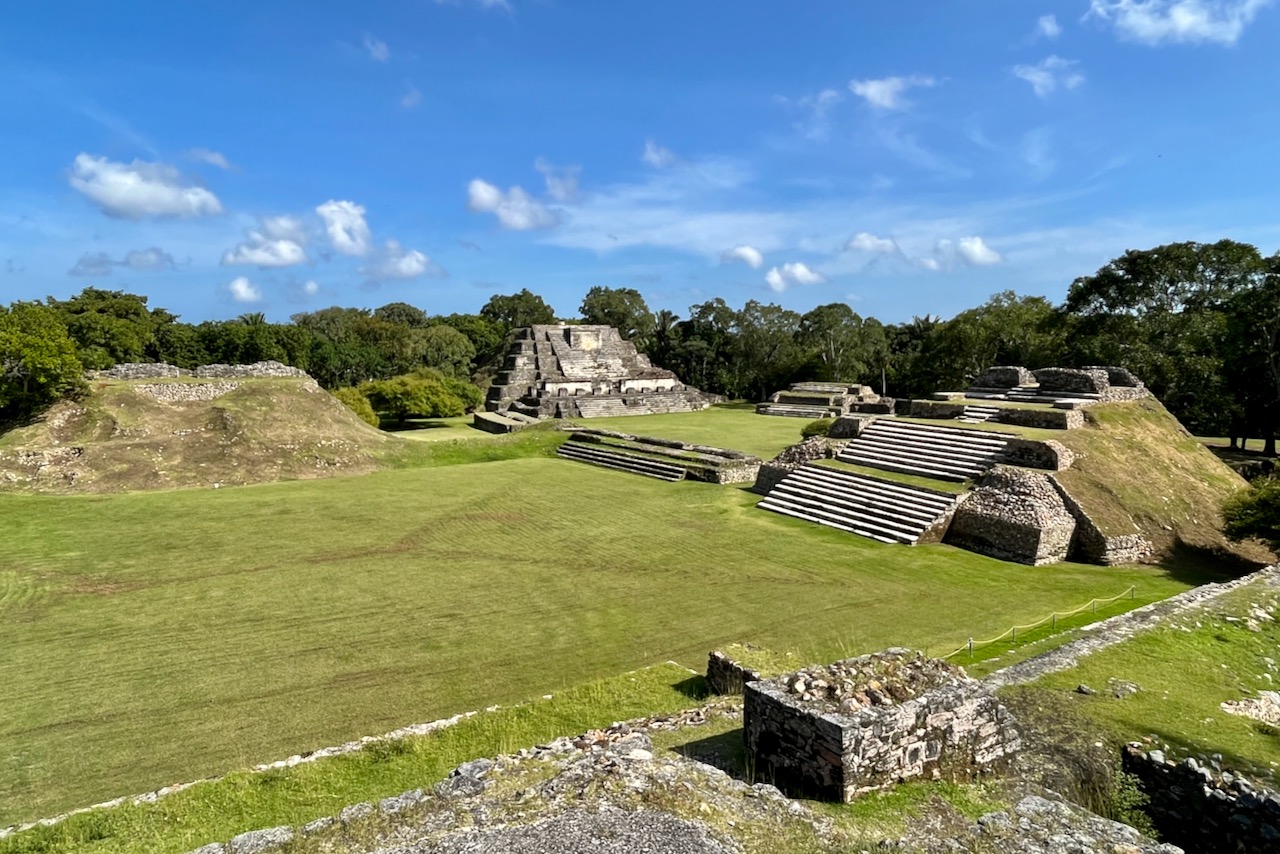
After finishing our diving trip. We got off the boat in the morning and picked up our car rental from the airport. We then headed to Altun Ha – a Mayan site near Belize city – before making our way over across the country to San Ignacio. Altun Ha is an impressive site with some buildings partially excavated and some waiting to be uncovered.

Altun Ha

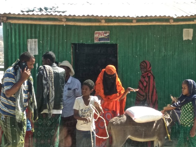
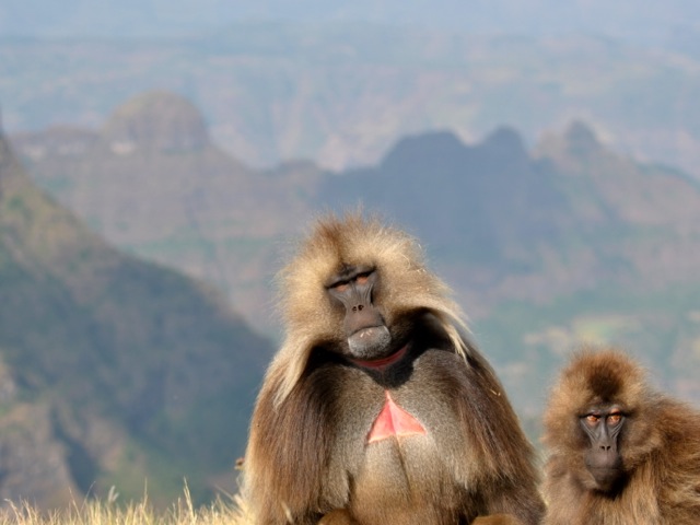
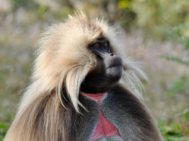
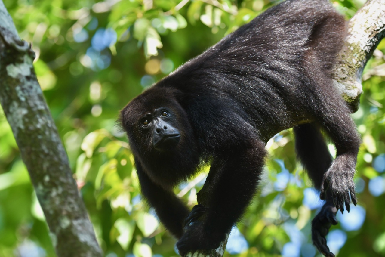
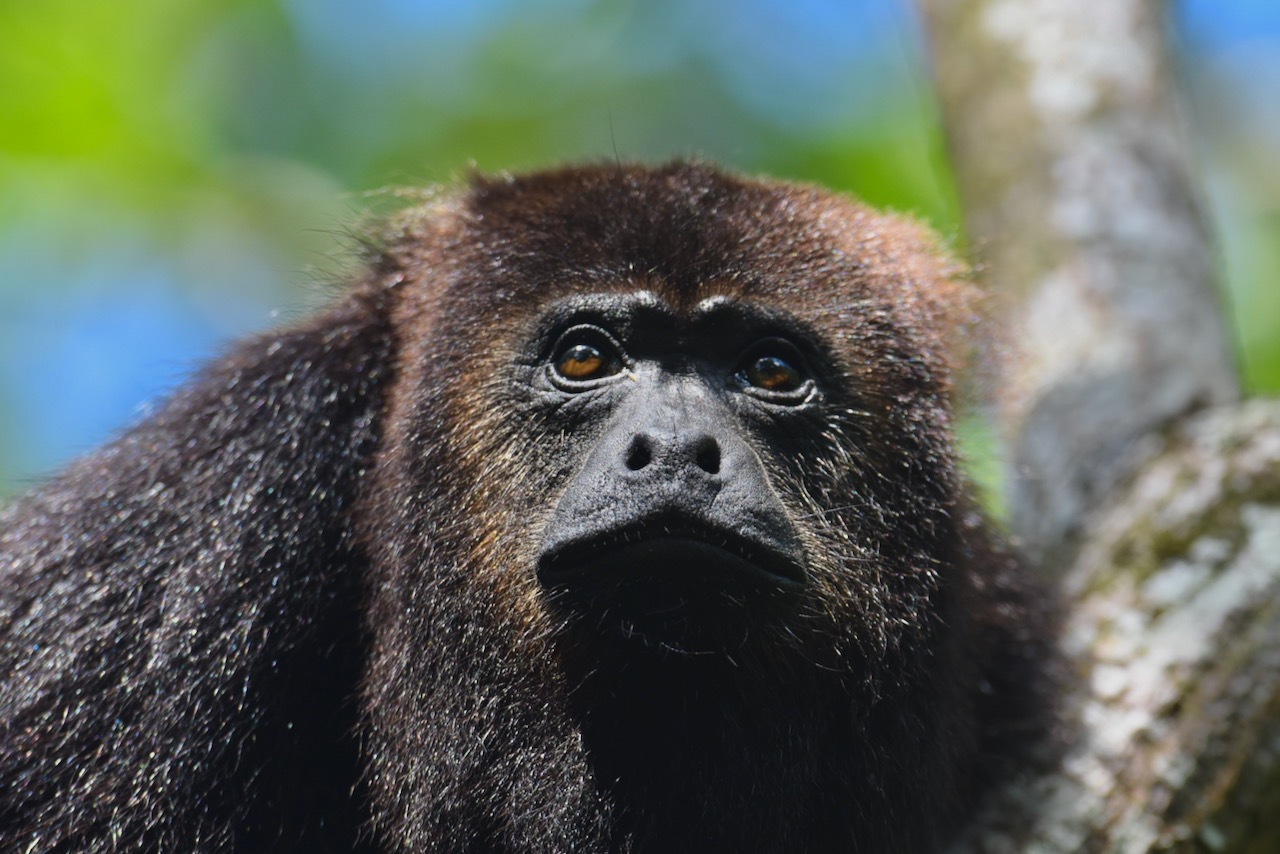
As we headed west, we made a few stops on the way. First we stopped at the community baboon sanctuary. Local community agreed not to cut trees between their estates to let animals pass and now offers tours to go and see howler monkeys and possibly other species. We were first hoping to go on the boat tour that the center also operates. But this was the day of a solar eclipse and the guide declared that there would be no boat tour because day will turn into night with the eclipse. There was no point in debating and we headed instead on foot to find howler monkeys. It did not take long 10-15min at most, we found a little group of howlers, they ate and mostly napped in the tree but one came down closer and another one howled. Good stop to do.

howler monkey, Belize

On the way we stopped by Belize zoo and tropical education center. It serves as rescue and rehabilitation facility. We stopped in the middle of the day and most animals were hiding. The place is popular for visiting with kids.

And then we headed to San Ignacio. Belize is not a big country so it only takes a couple of hours to cross it east to west. We made it to San Ignacio in time to visit Cahal Pech just before sunset – another Mayan ruin located in the town of San Ignacio.

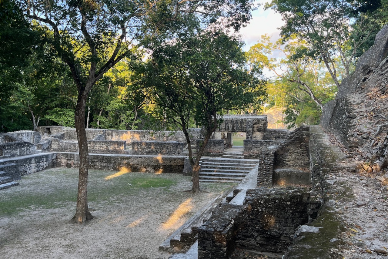
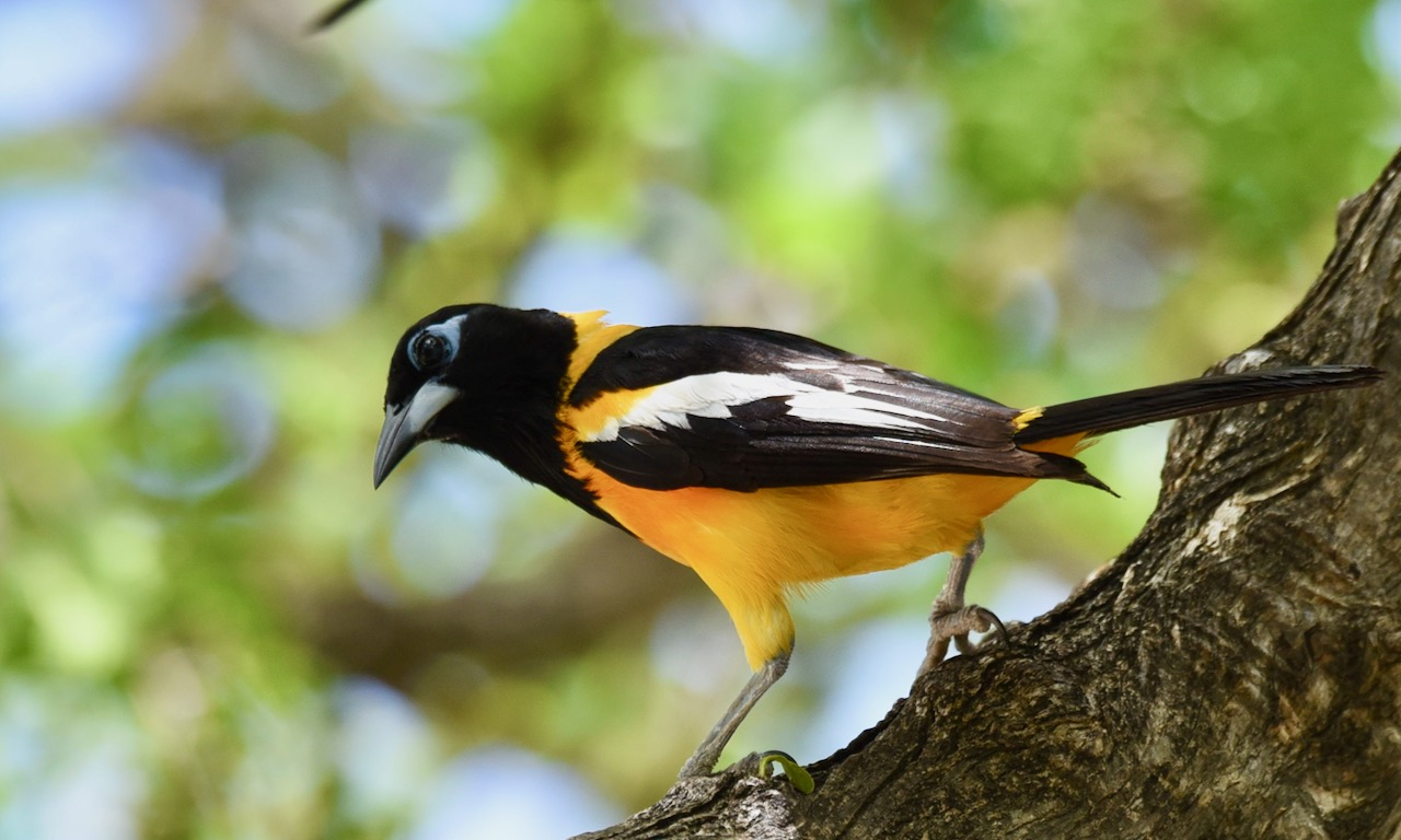
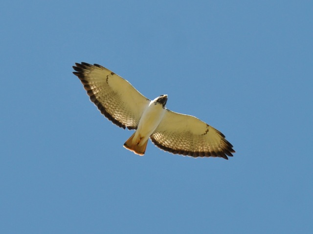
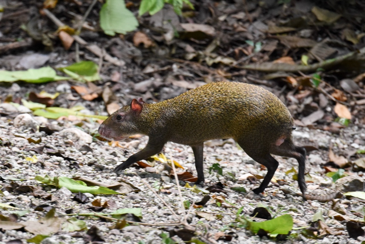
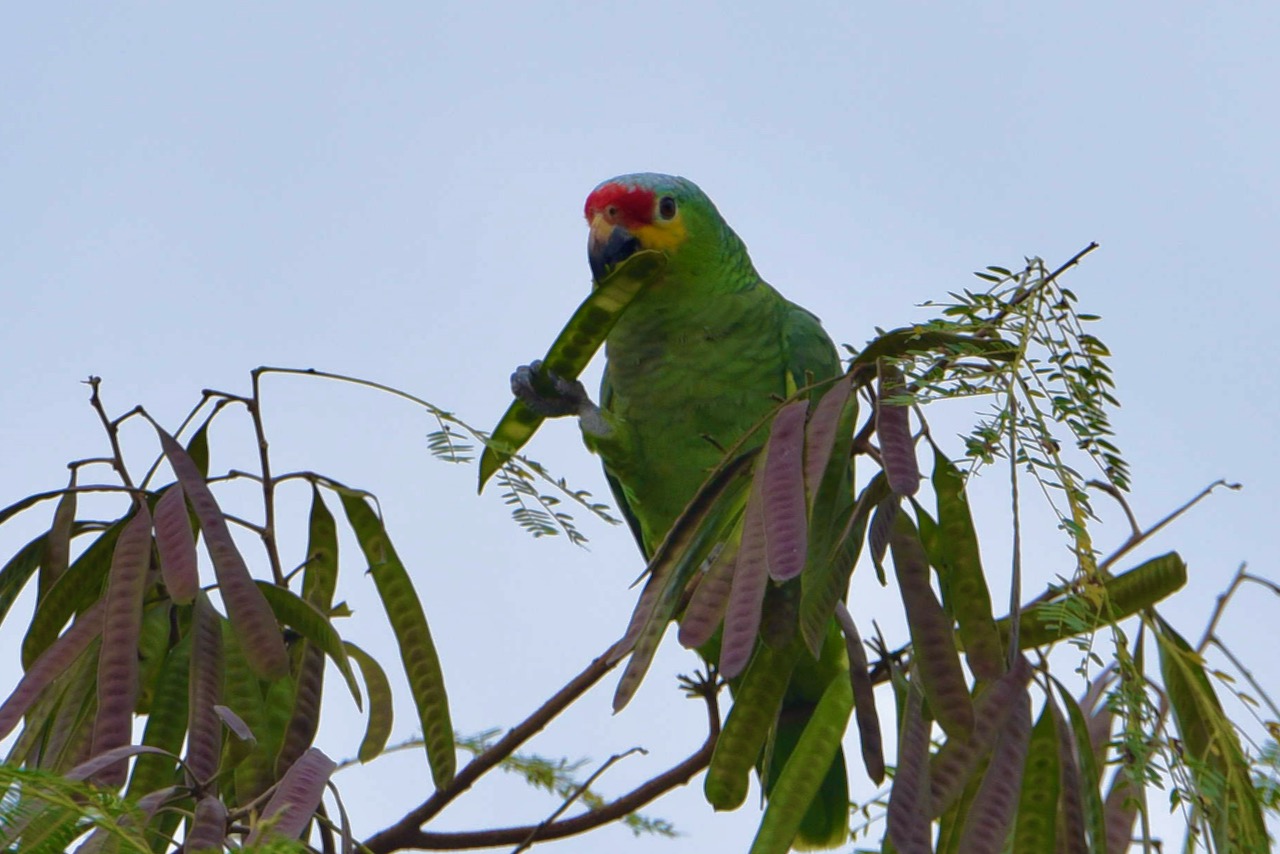
While exploring the site we saw several agouties running around. We could hear parrots and toucans but could not see them. It is a very nice site with a good museum.

Agouti at Cahal Pech, Belize

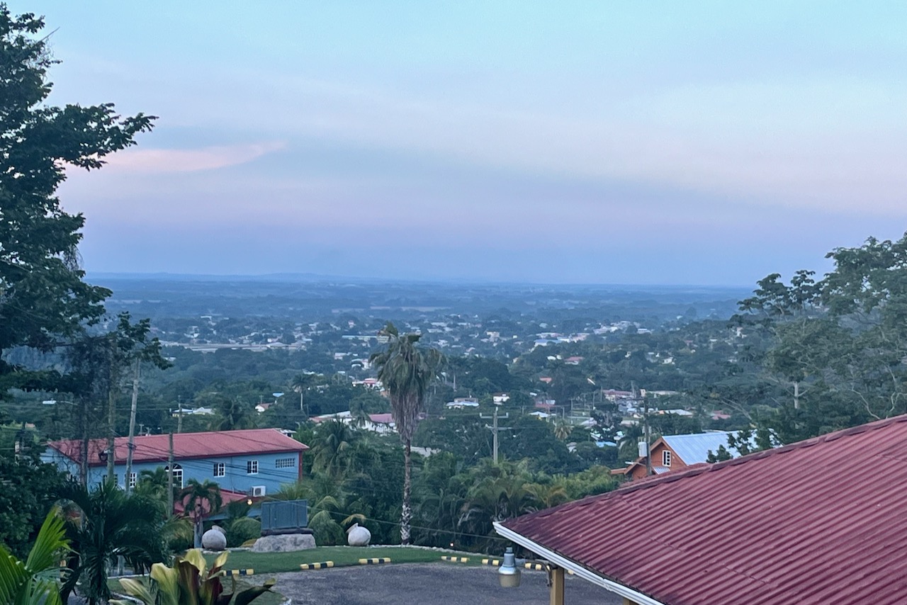
We stayed at Falling Leaves Lodge right next to Cahal Pech. The place is surrounded by big trees and is one of the hot spots for birdwatchers. Food was delicious too.

View from Falling Leaves Lodge

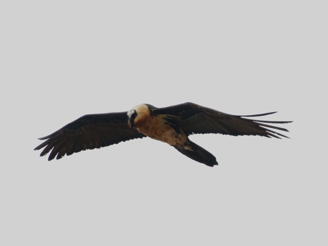
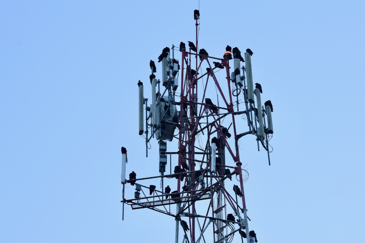
At sunset dozens of vultures make cell phone tower nearby their roust. Is quite a site

VUltures on cell phone tower, San Ignacio, Belize
Toucan, San Ignacio, Belize
Red lored parrot, San Ignacio, Belize

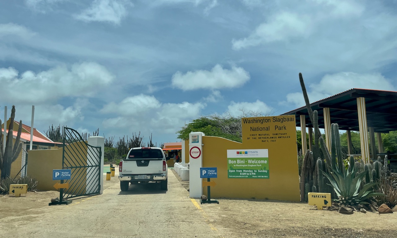
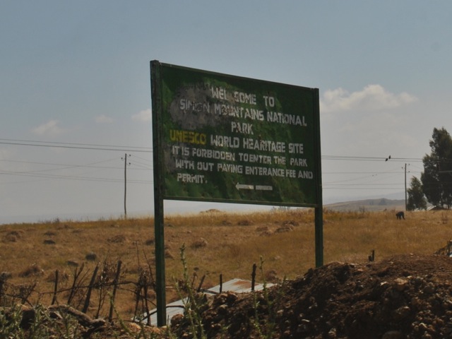
Mountain Pine Ridge Reserve and Caracol

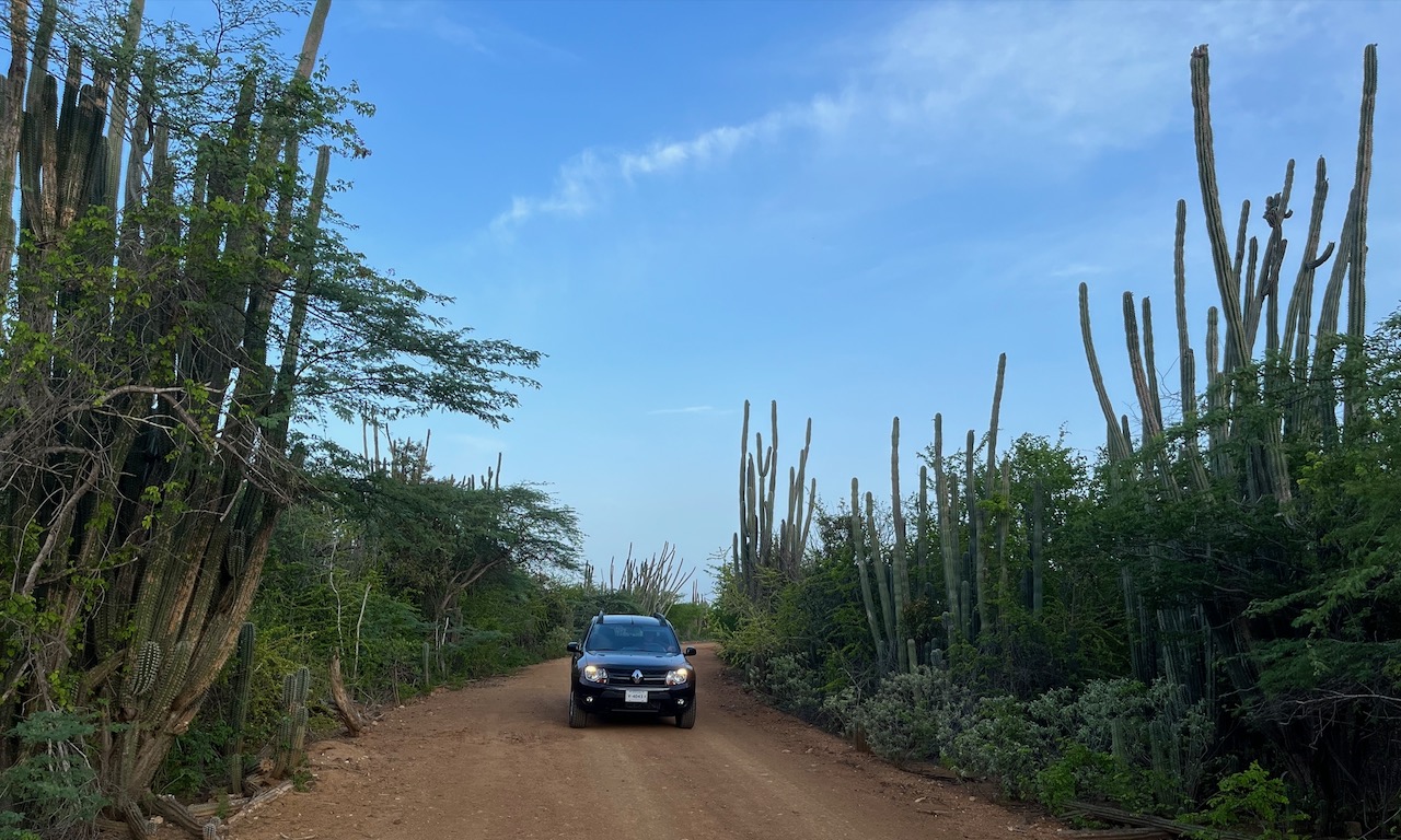
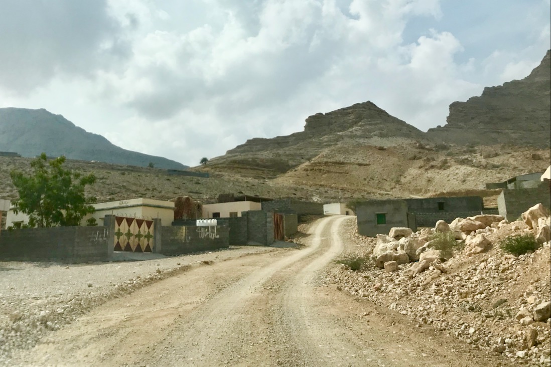
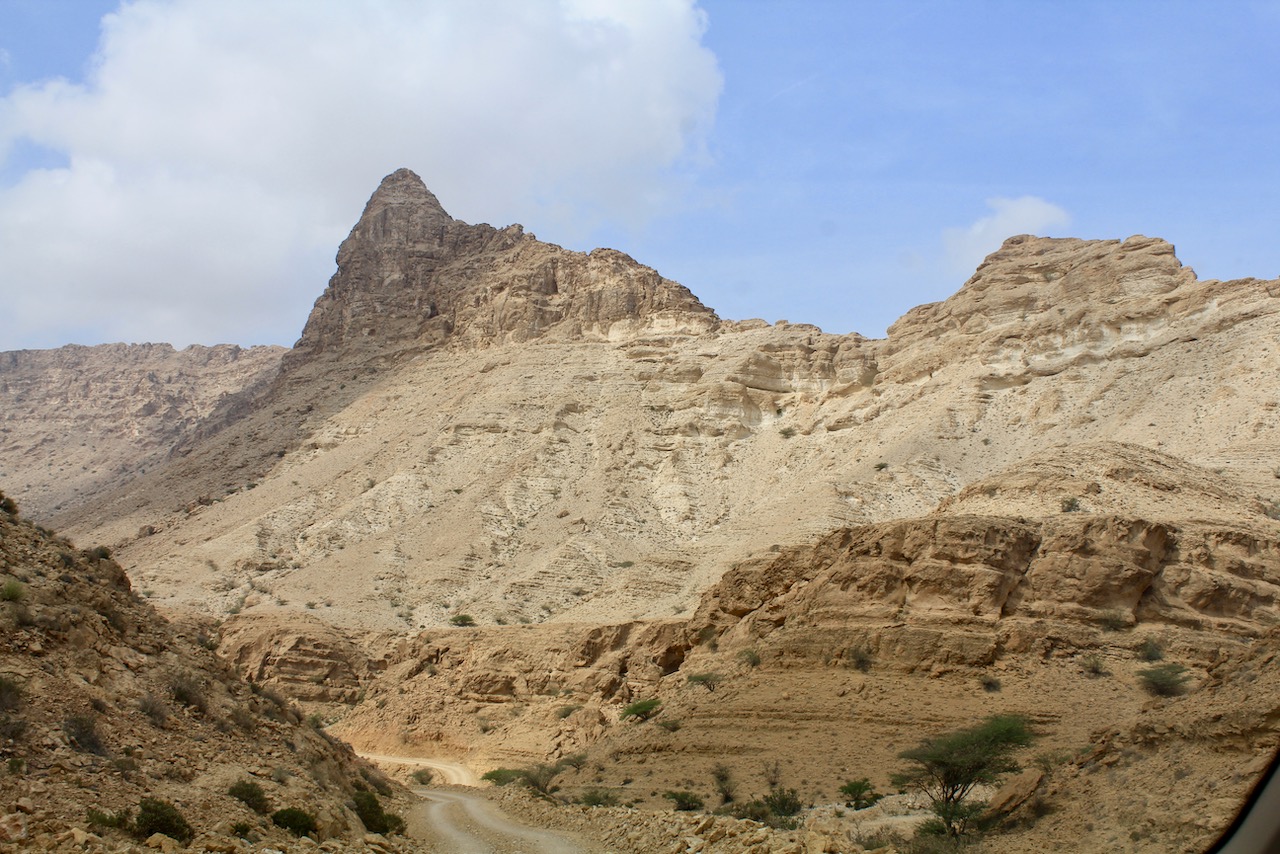
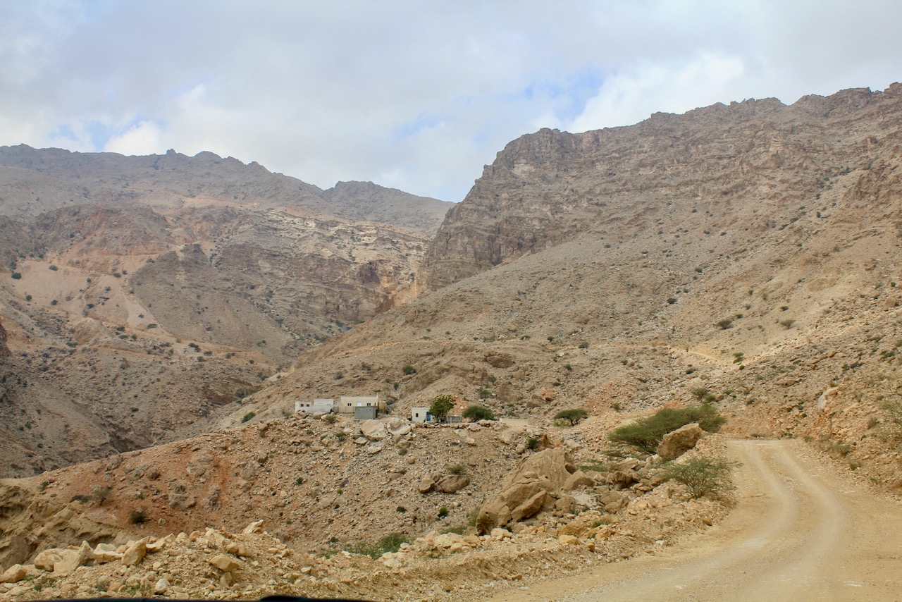
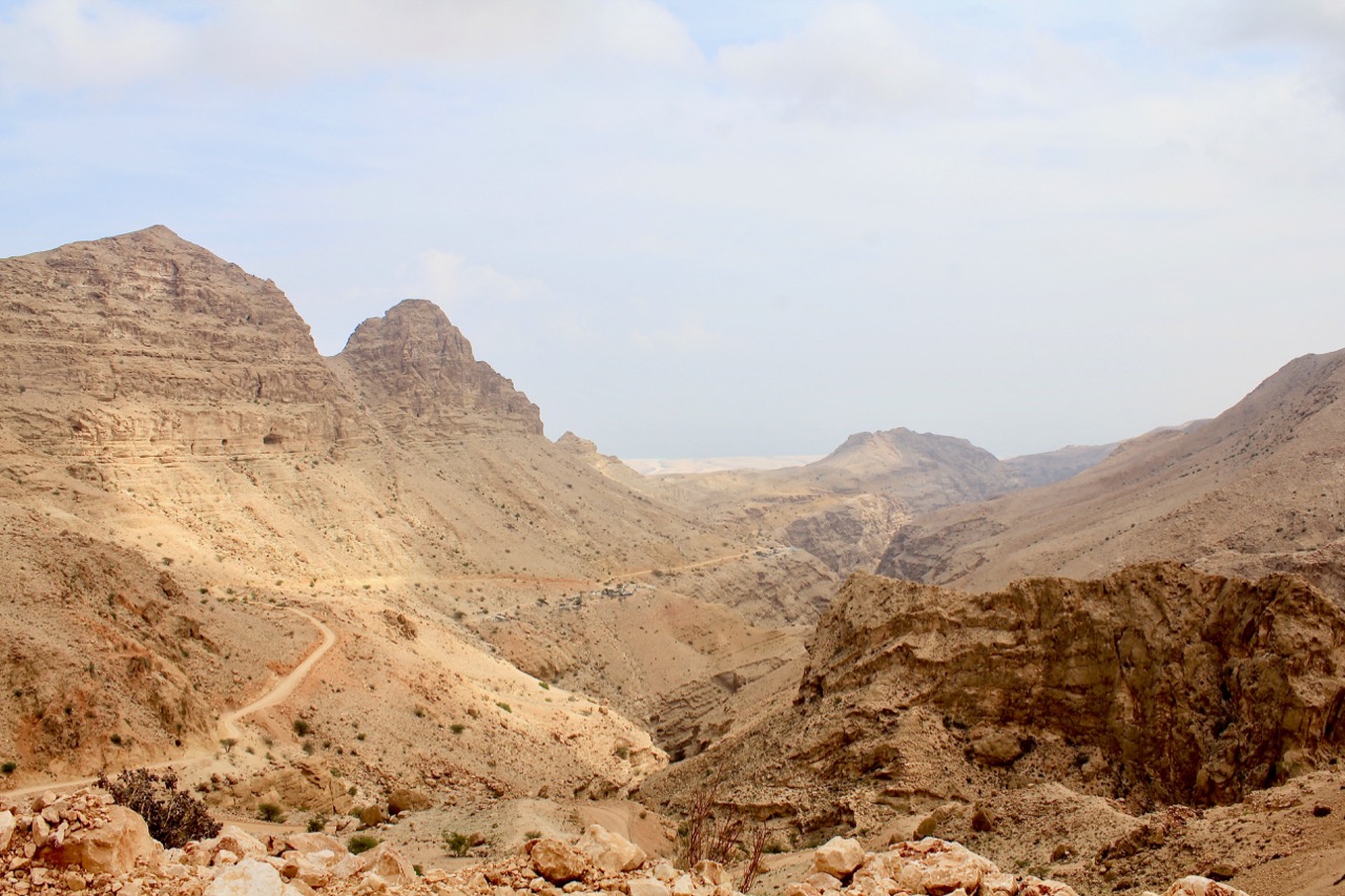
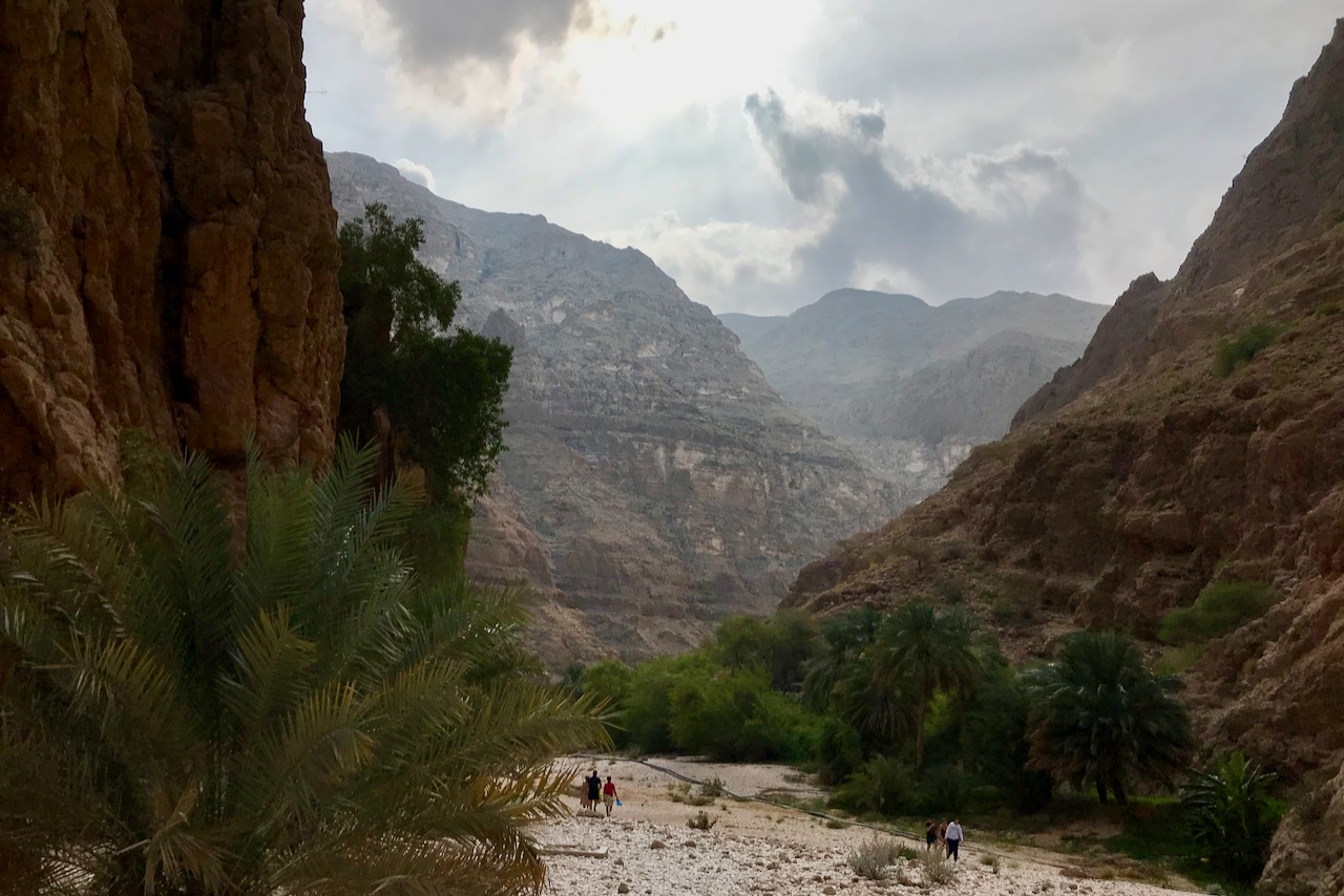
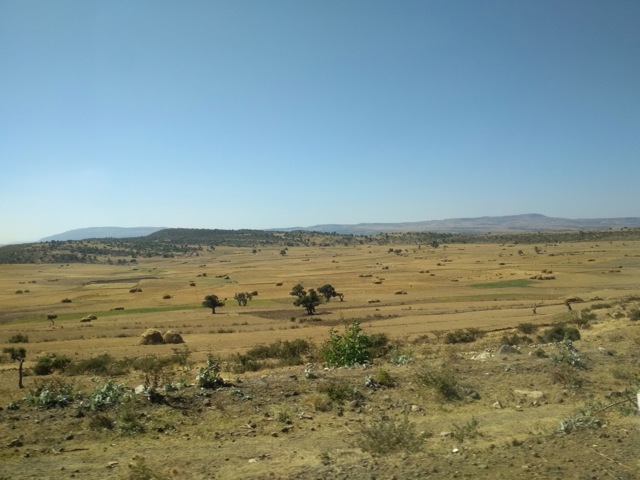
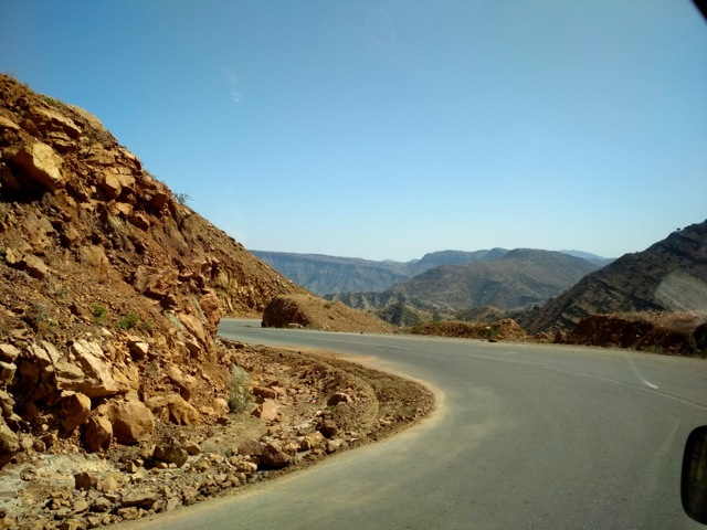
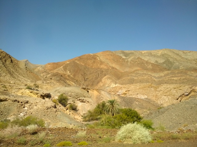
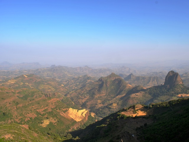
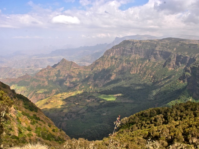
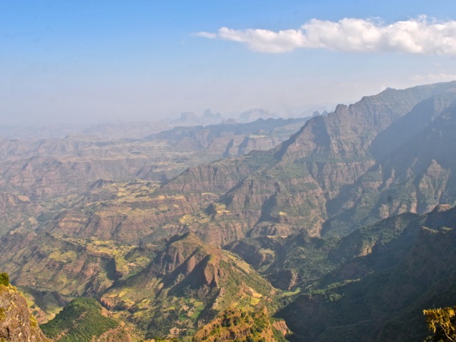
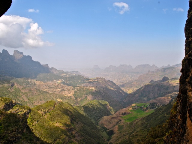
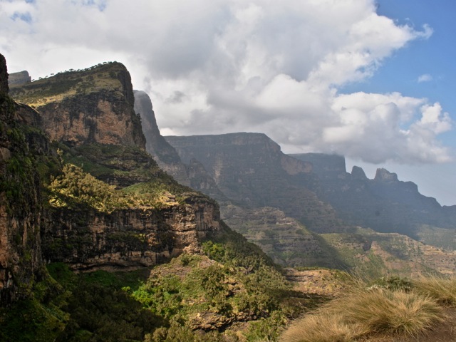
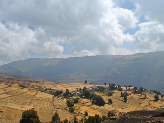
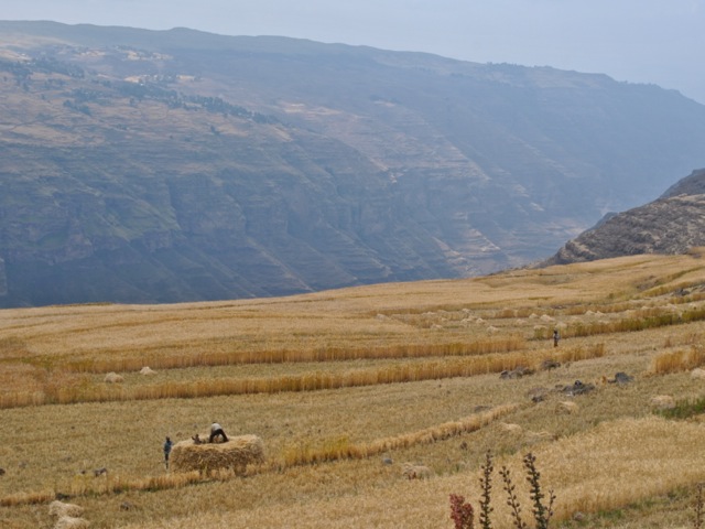
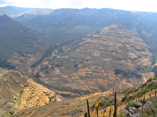
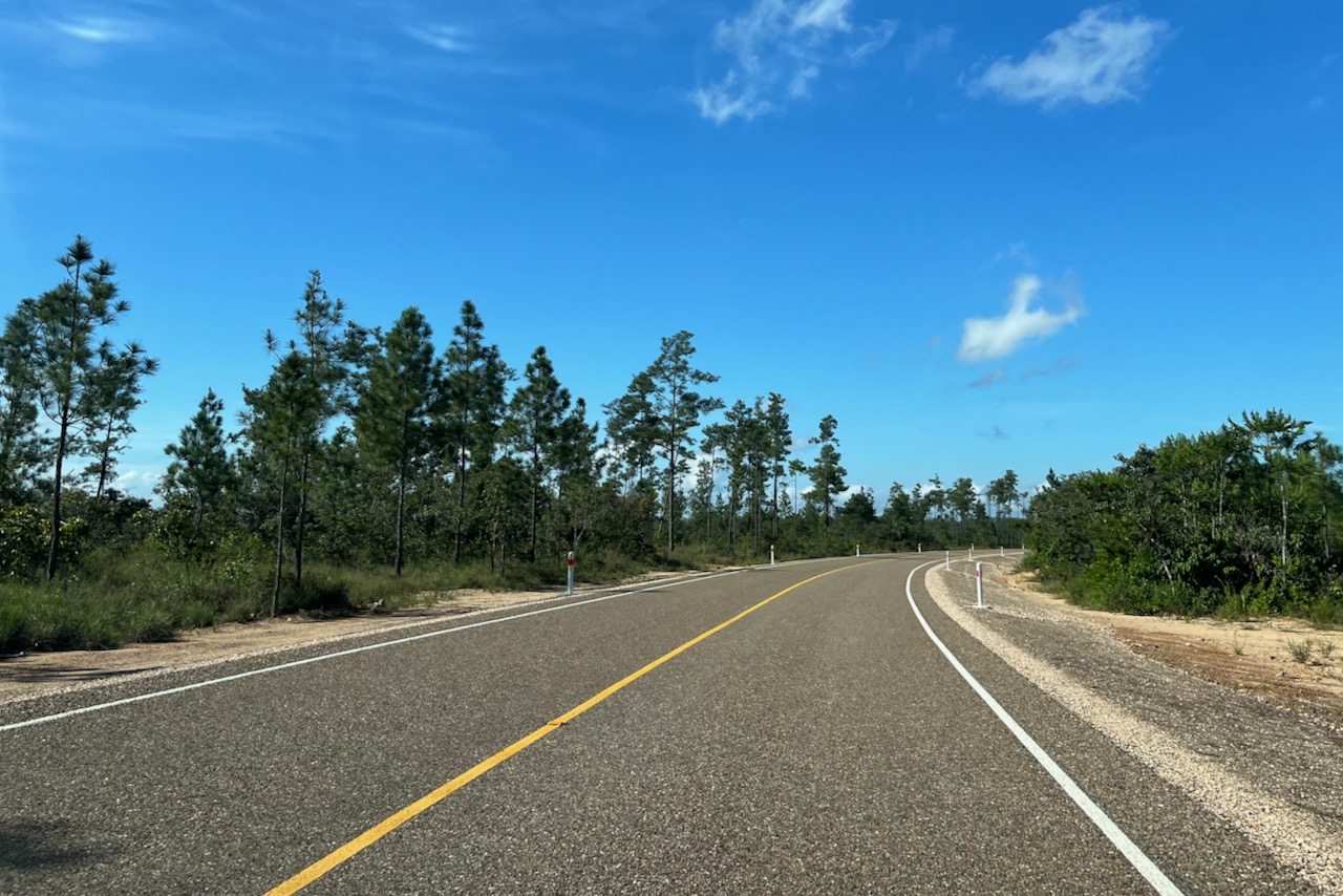
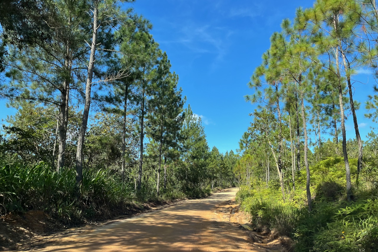
The next day we headed to Caracol and explored a little of the Mountain Pine Ridge reserve on the way back. The new road to Caracol was about 1/3 built at the time we were visiting and the work continues. First one drives on a brand new excellent road and then on compacted but not paved road. We were in a small 2 wheel drive and did not have any issues. It was dry when we visited though and after heavy rains the road might be more difficult to pass. It is a very scenic drive. Pines suffered from a decease some years ago and many of them did not survive, but it seems the forest is recovering. At lower elevations jungle is sick and lush. It took us about 2 hours to reach Caracol.

New road from San Ignacio to Caracol, Belize
Not yet paved section of the road from San Ignacio to Caracol
Caracol entrance sign, Belize

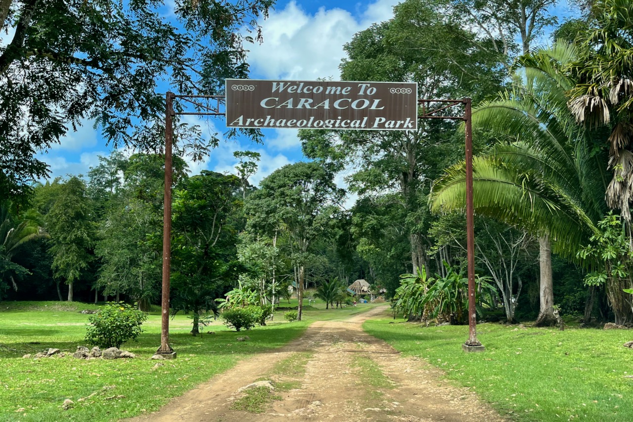
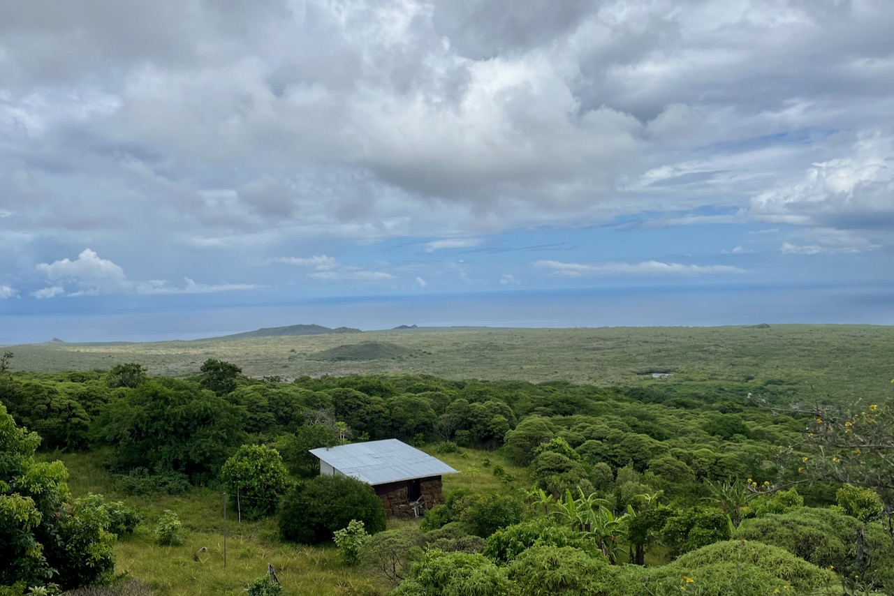
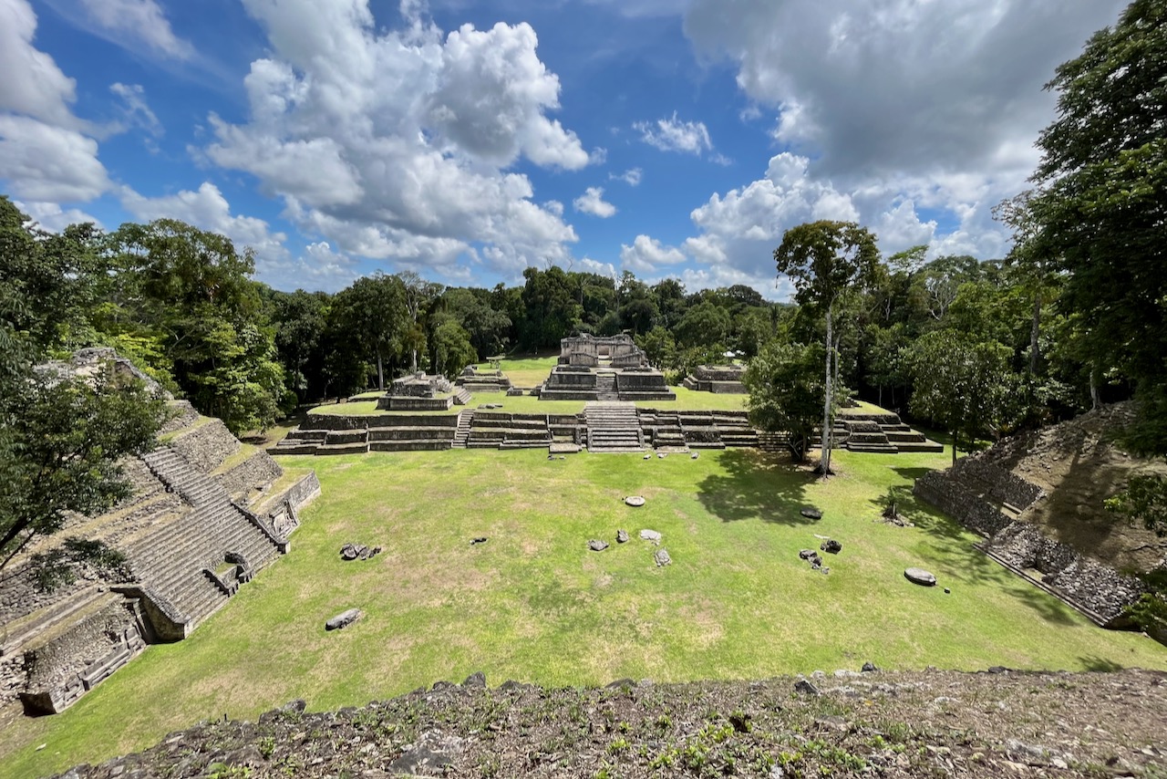
Caracol is one of the more famous Mayan sites and was a major settlement in its day. The site is very large with impressive buildings and excavation work continuing. We were the first to arrive and at the start had the entire site to ourselves. As day went on a few more groups came, but we did not see more than 20 people in total throughout the day. Definitely a benefit of traveling in low season, and before the road is finished and cruise tourists can reach the site!

Caracol, Belize
Caracol, view from the tallest pyramid, Belize

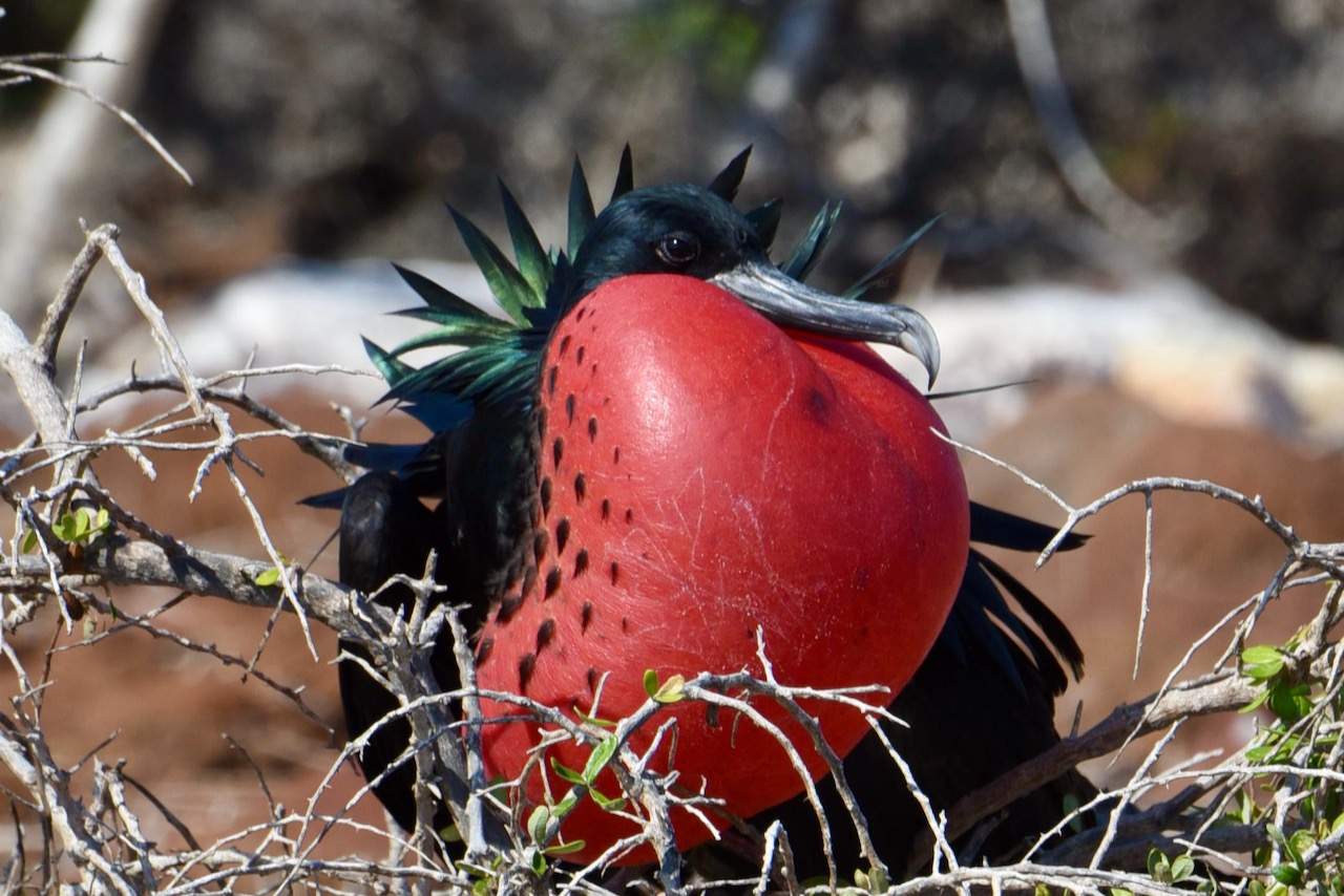
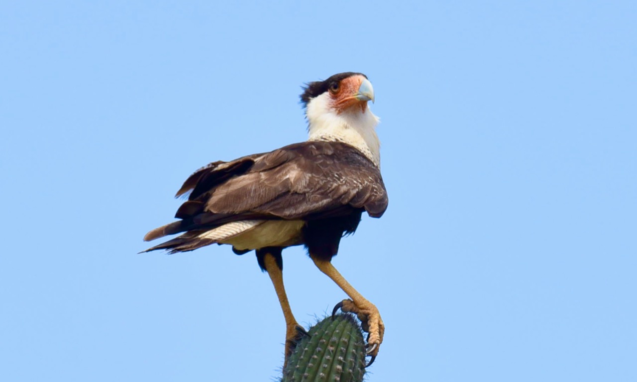
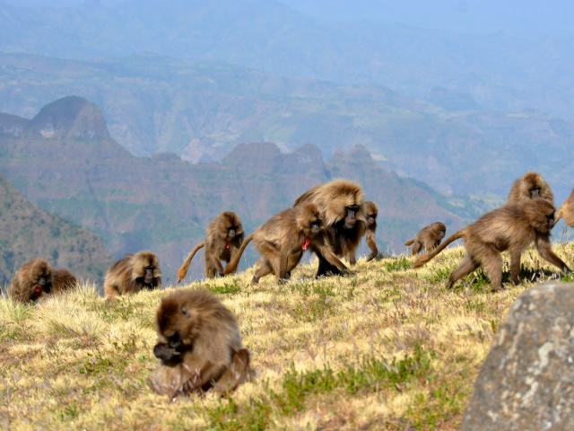
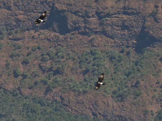
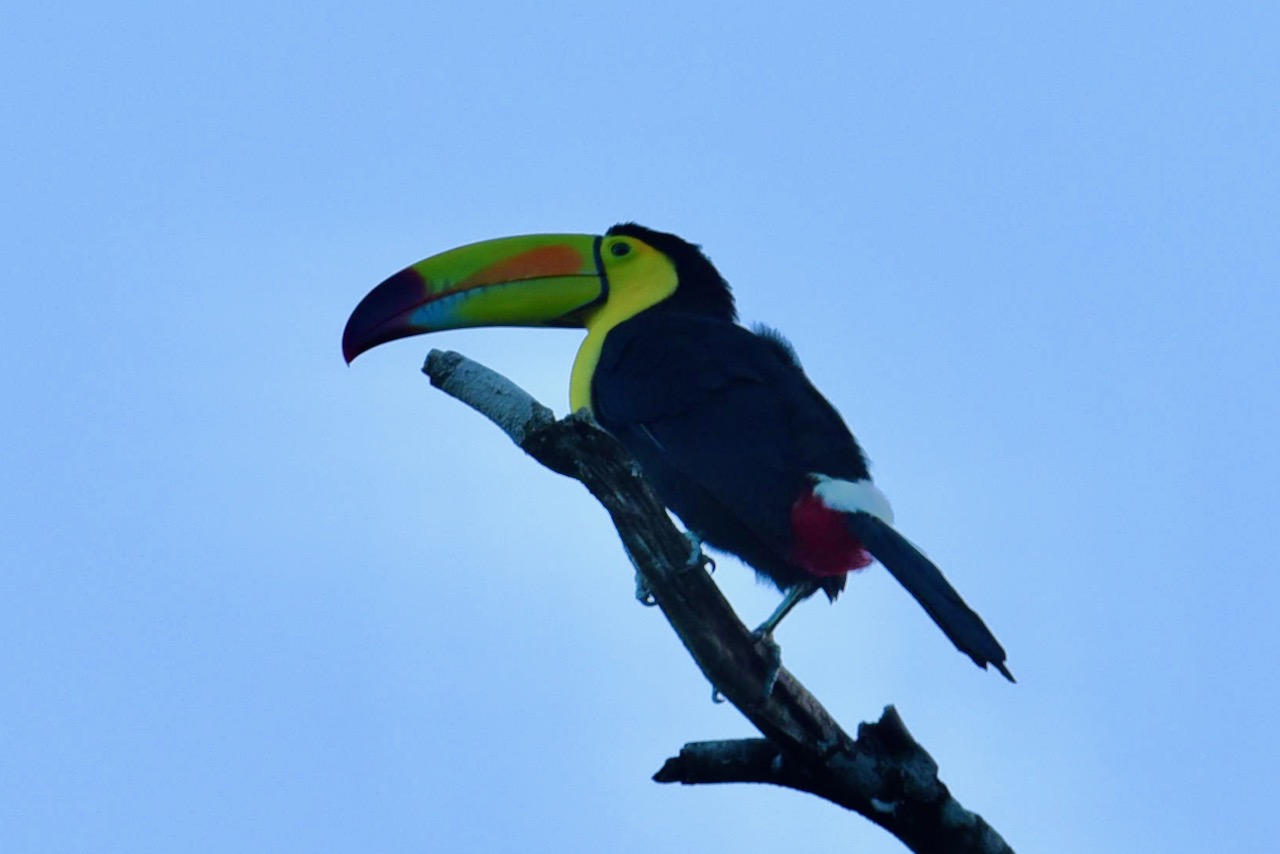
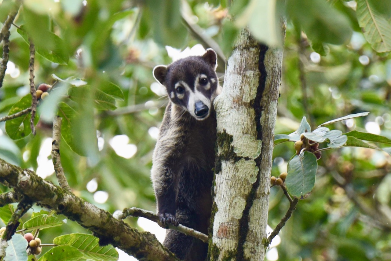
There were many animals and birds around the site. We saw toucans, white nosed coatie, howling monkeys and parrots.

White nosed coati at Caracol, Belize

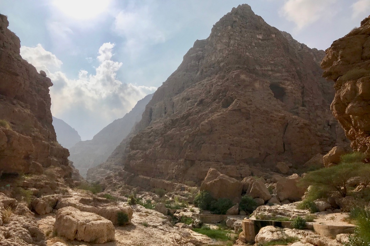
On the way back from Caracol we stopped at a few scenic spots on the drive through Mountain Pine Ridge Reserve. it is a stunningly beautiful place. We only had less than a half day left but there is definitely much to do and explore.

Rio on pools views, Belize

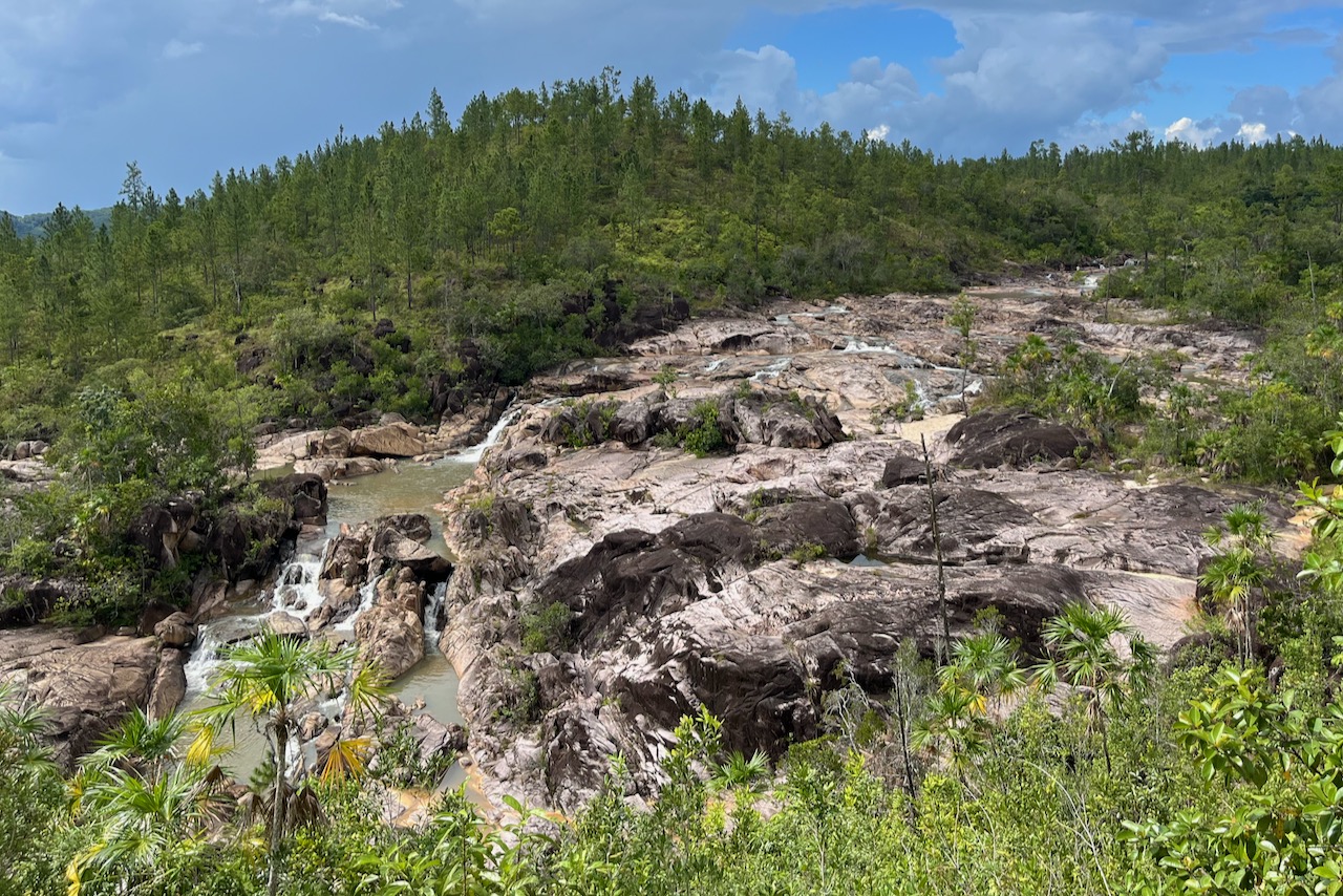
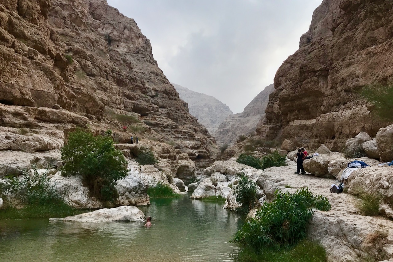
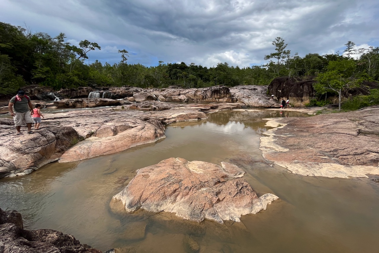
First we stopped at Rio on pools lookout.There is a nicely organized area and there were quite a few people having picknicks enjoying the view. A little walk from the look out one walks to the rock pools themselves. There were quite a few people there, big groups enjoying cooling down in the waters. The short trail is only about 5 minutes. And the site is well managed with toilets and no trash in site. It is a beautiful place and had a very nice peaceful happy vibe about it with all the locals enjoying cool waters.

Rio on pools, Belize

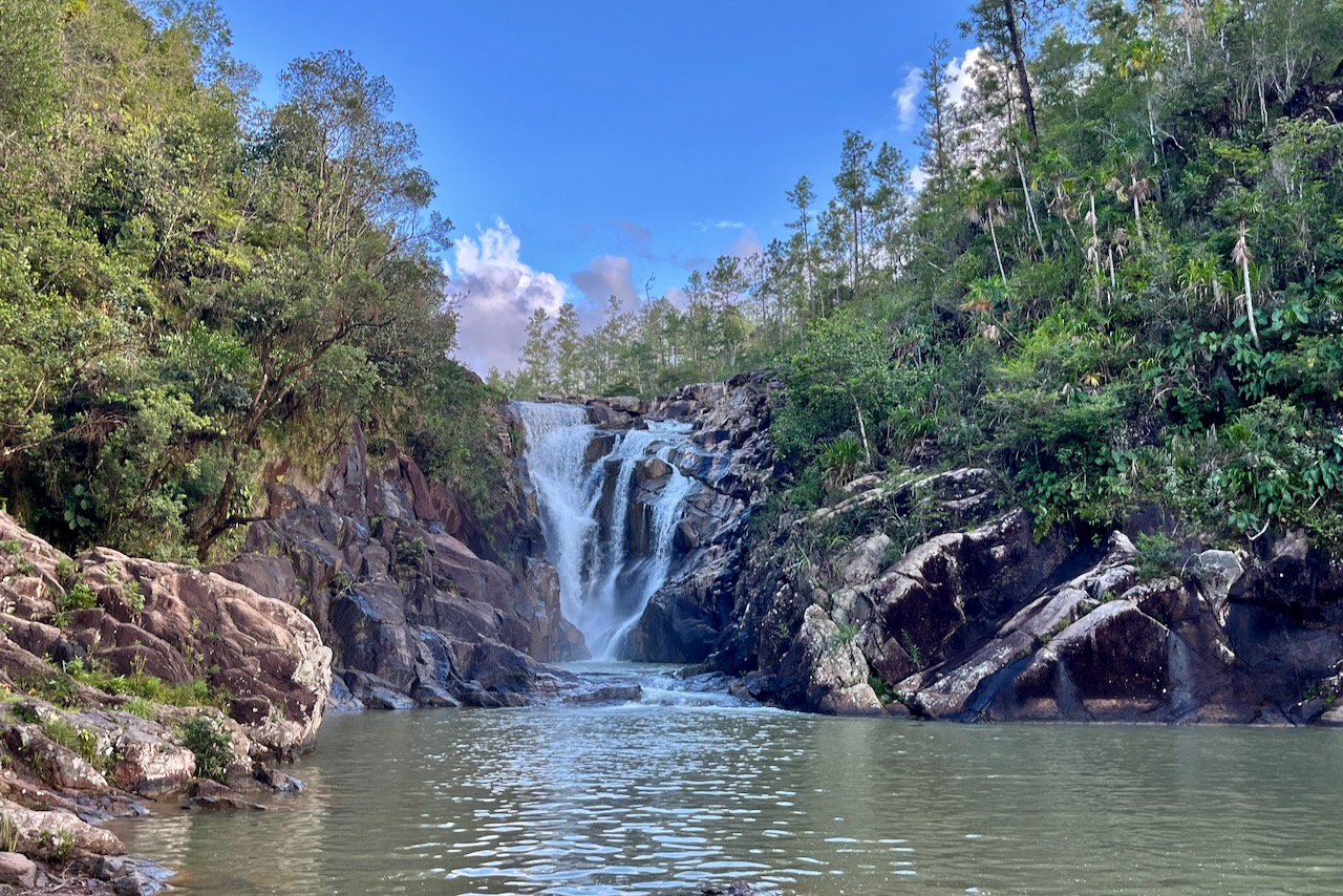
Then we drove by 5 sisters restaurant in a lodge. A great place to have lunch overlooking beautiful waterfalls cascade. Food was great too.

five sisters waterfalls, Belize

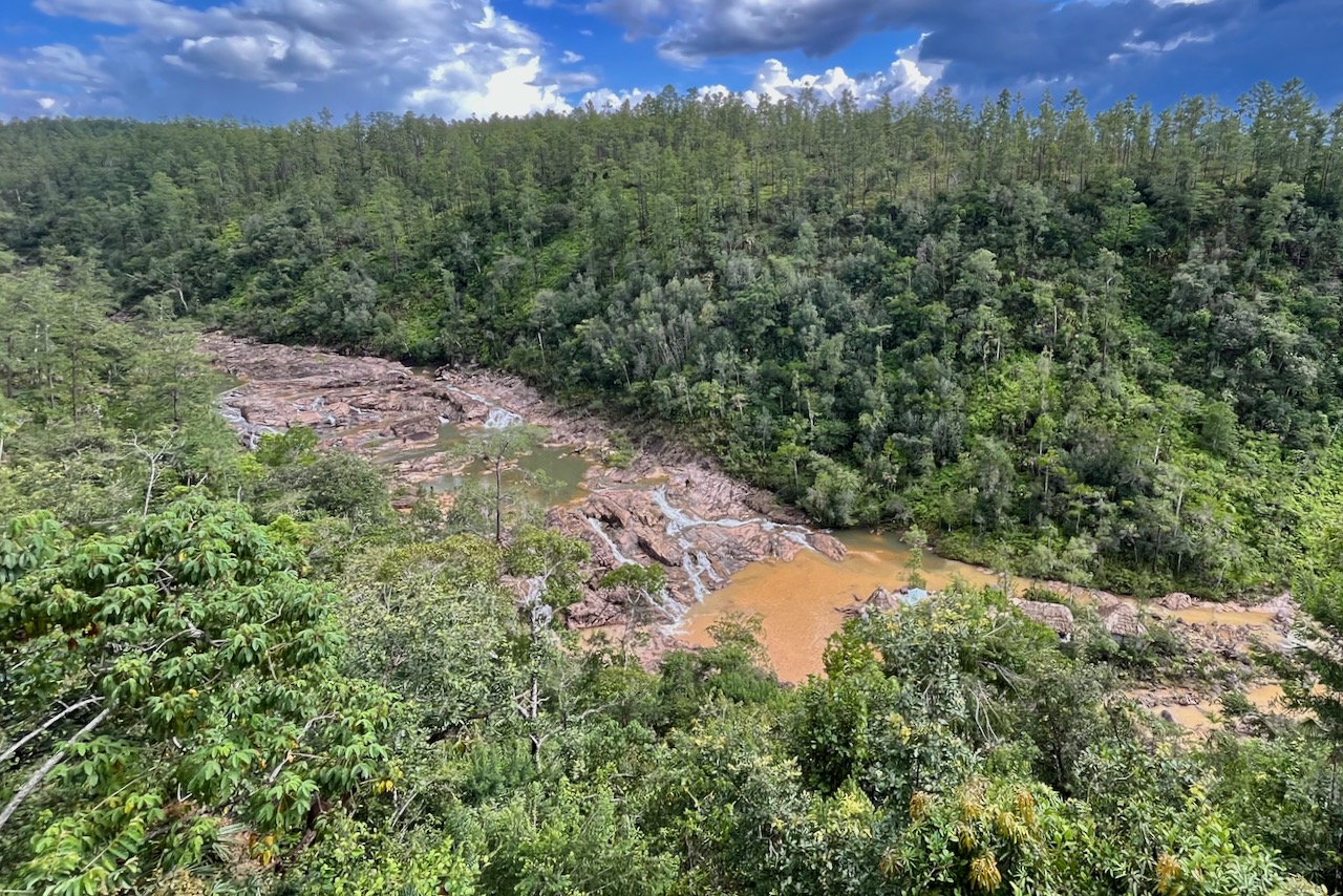
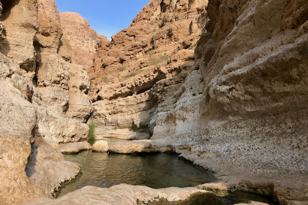
And then we stopped by nig rocks falls. This one has long set of steps down. Steps are in a good shape, Easy to go up and down just many of them. Pool at the bottom of the falls is very nice and by the time we were there, there was barely any people. Very nice other stop.

We then tried to get to 1000 foot falls, but day was running out on us and the road was not paved. We decided to keep it till next time as clearly, there is much more to do in the area.

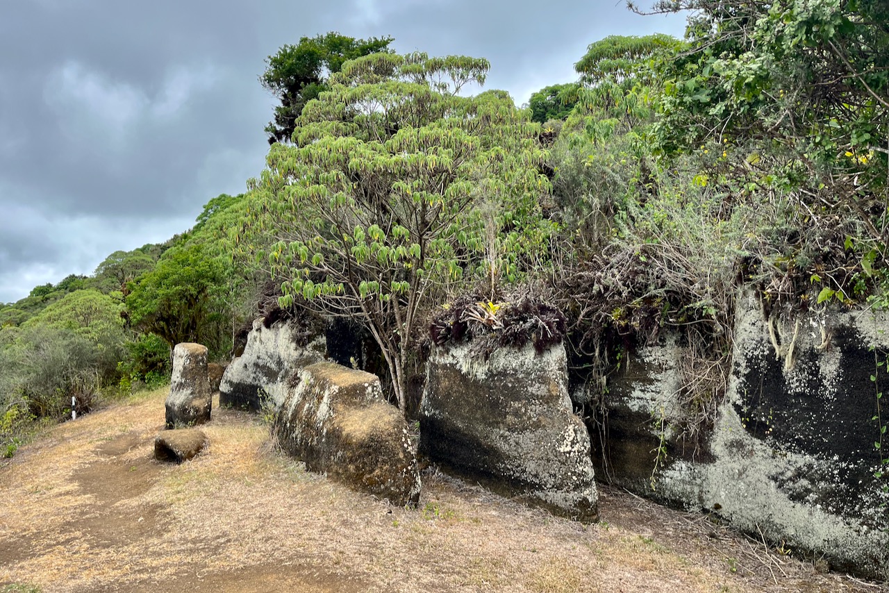
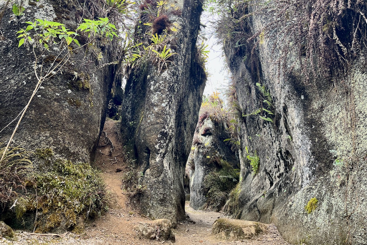
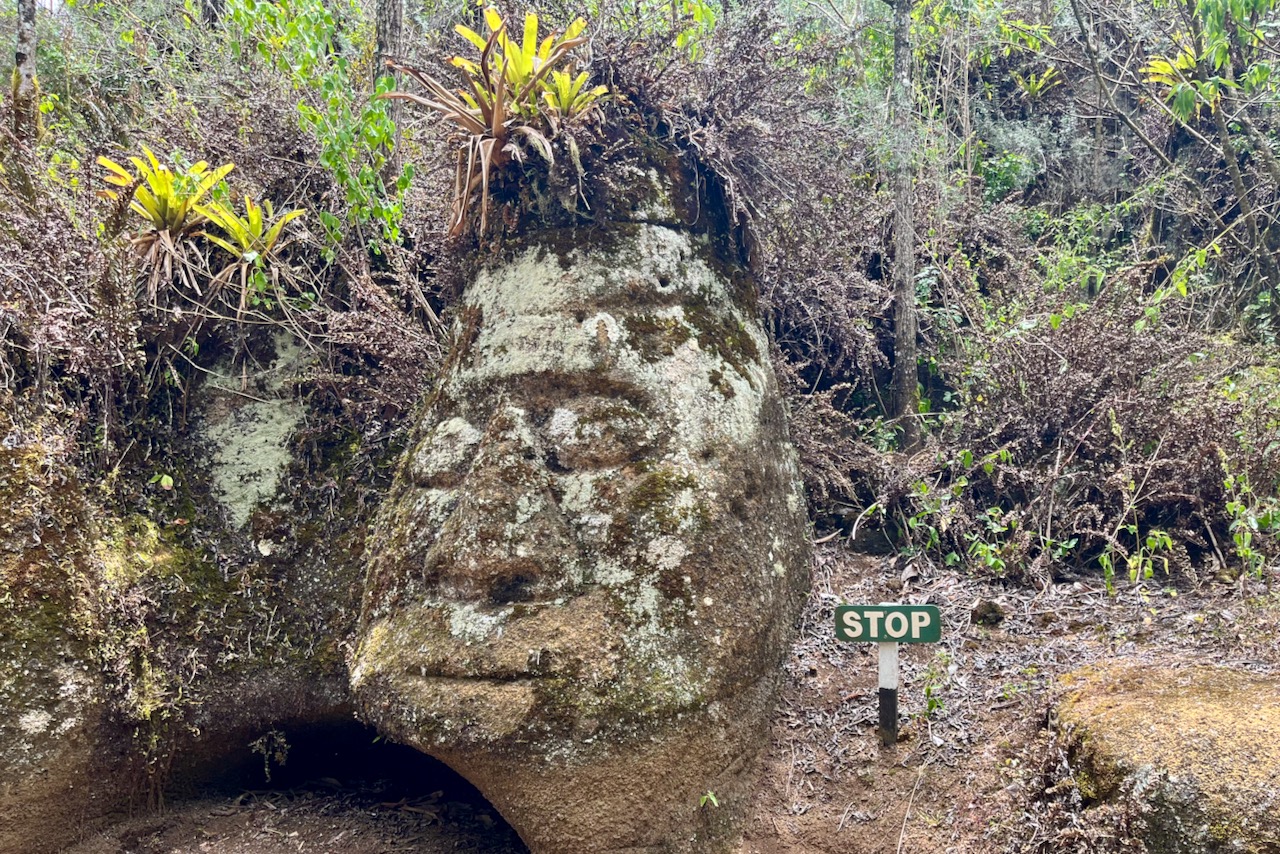
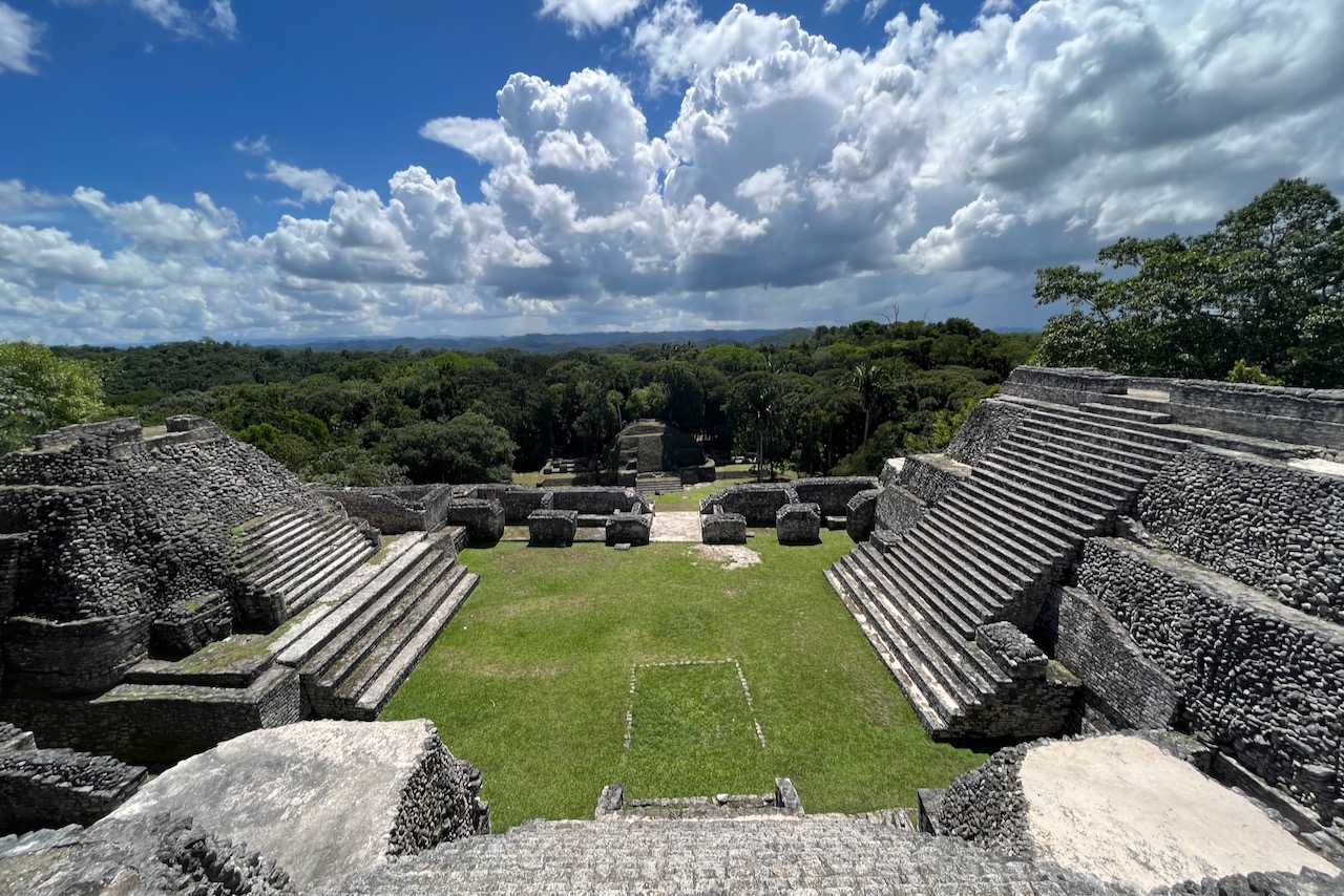
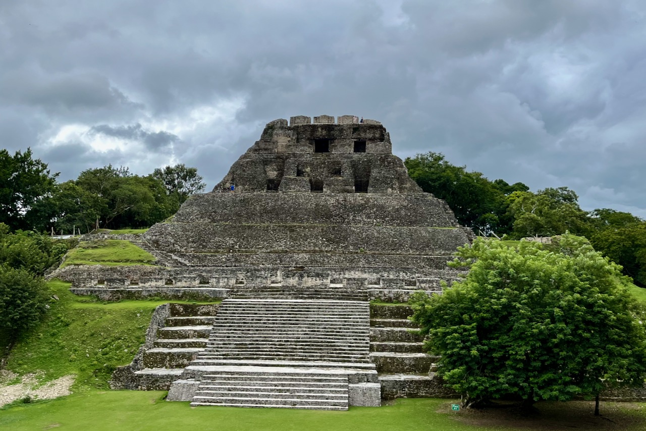
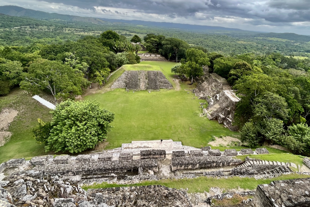
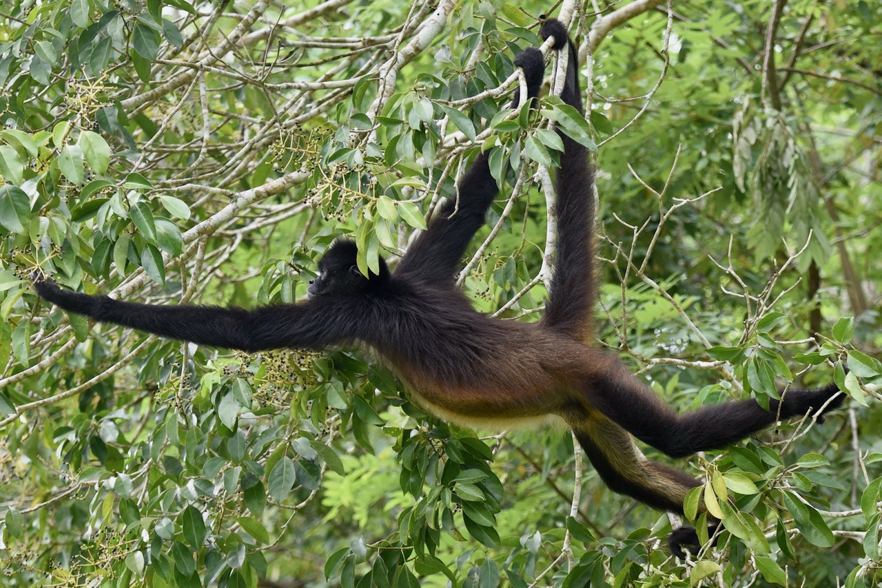
On the last day we headed to Xunantunich, a major Mayan site less than half hour from San Ignacio. The site is spectacular, one can climb the tollest pyramid and see Guatemala border from it and all the countryside around. We also saw many spider monkeys in the trees around the site, toucans, other birds and could hear howlers howling. And again, perhaps because of low season, we almost had site to ourselves – an amazing experience.

Xunantunich, Belize
Xunantunich, Belize
Spider monkey, Xunantunich, Belize

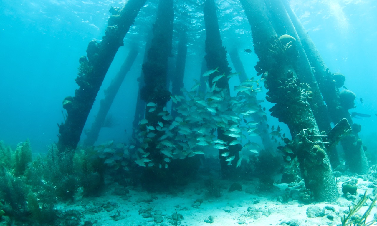
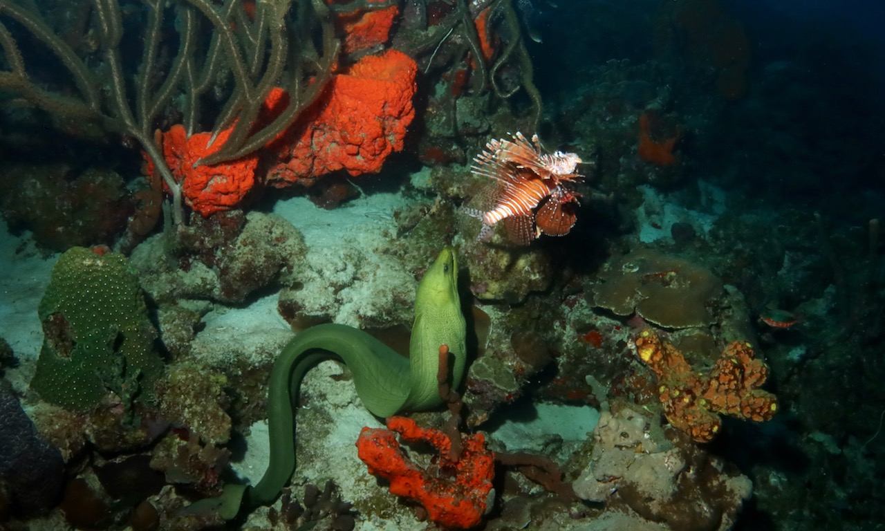
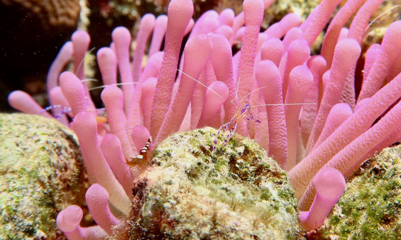
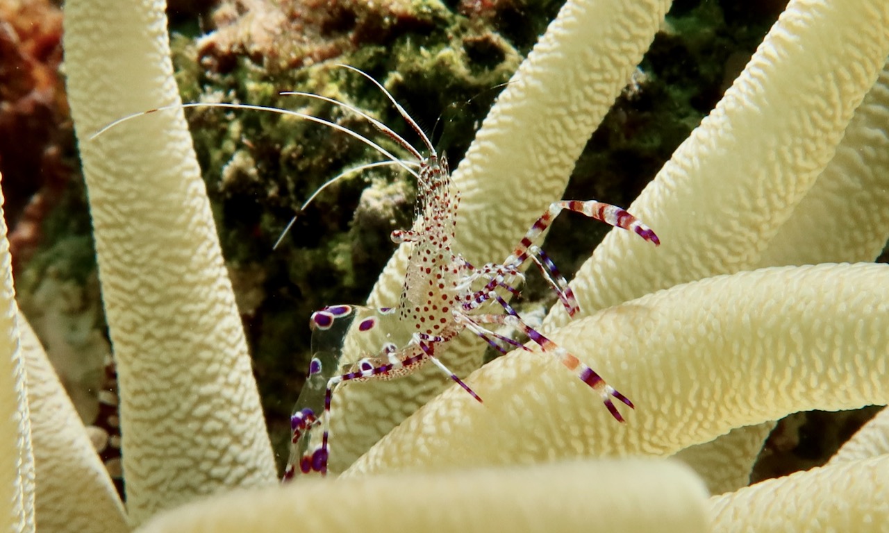
All in all a phenomenal trip with history, nature and good diving.

Back to Belize

Floreana island, Galapagos

We did a day trip to Floreana island in the Galapagos, when we were staying in Santa Cruz. Floreana has the smallest population with currently about 100 people. It has iguanas that are reddish in color, a tortoise reserve, a short hike up the hill to see caves where pirates used to stay back in the day, and a nice little bay to snorkel in. The boat ride from Santa Cruz to Floreana was about 2 hours.

pier at Puerto Velazco Ibarra, Floreana Island, Galapagos

Floreana was the first island to be occupied in Galapagos. In the 1930s it had a set of characters which involved a doctor who removed his teeth before moving to the island and a Baroness with her lovers. Arguments among these settlers culminated in disappearance of several of them – quite a drama for such a small sleepy place – you can read more here. Now not much is happening on Floreana. Any prospects of growth are limited by lack of significant fresh water sources on the island.

a restaurant on Floreana island, Galapagos

The island accommodates day trippers mostly. It has a couple of very basic restaurants. There is also a resort and it is possible to stay overnight.

tortoise, Floreana island, Galapagos

Tortoises went extinct on Floreana island in the mid 1800s. A conservation program started in 2017, with several Floreana heritage tortoises now living on the island and a number of others in the breeding center in Santa Cruz.

tortoise, Floreana island, Galapagos
the view to the ocean from the hill in Floreana island, Galapagos

During 16th and 17th centuries, pirates used Floreana as a base to raid Spanish ships passing through the area. They stayed in the caves on tops of the hills and one still can see carved out spaces they made to make themselves more comfortable.

pirates' caves, Floreana island, Galapagos
pirates’ caves, Floreana island, Galapagos
pirates' caves, Floreana island, Galapagos
pirates’ caves, Floreana island, Galapagos
face carved in the rocks by pirates, Floreana island, Galapagos

We then headed down to the white sand beach for a swim and a snorkel. There was a lot of reef fish around, but we did not see turtles or sea lions on this occasion.

After the snorkel we headed back to the pier. On the way we passed the black sand beach. This is where historically visitors were arriving to (before pier was built). And also where the one resort is located, owned by the descendants of those early settlers from 1930s.

All around the pier and near the shore we saw marine iguanas. On Floreana they were reddish in color, unlike those we saw on Santa Cruz.

Back to Galapagos

North Seymour, Galapagos

North Seymour island is a small flat island north of Baltra and Santa Cruz islands. It hosts one of the largest populations of magnificent frigate birds as well as blue-footed boobies and other birds. There is a trail around the nesting site of the birds and the island is a very popular day trip destination (it is uninhabited by humans). We visited as a stop on our liveaboard trip. The tours are well organized and arrivals of groups are staggered to never to have too many people at the same time. Every group must have a park naturalist guide who are very knowledgeable and really help to better understand the life of birds and animals.

Magnificent frigate bird, North Seymour, Galapagos

We got to see male frigate birds mating displays when they inflate their pouch, spread wings, and do a little dance to attract females. The picture below has two males doing the display and a female bird deciding if she like either of them.

Magnificent frigate birds, North Seymour, Galapagos

Once female picks a male, the pouch gets deflated and they nest together – below.

Magnificent frigate birds, North Seymour, Galapagos
Magnificent frigate bird flying, North Seymour, Galapagos

We saw only a couple of blue footed boobies and they at the time were not doing their mating dance. It was still got to observe them up close.

Blue-footed booby, North Seymour, Galapagos

North Seymour island has land iguanas that were introduced from Baltra in 1930s and have successfully settled in. We saw quite a few roaming around the bushes and on the rocks near the sea.

Land iguana, North Seymour, Galapagos

We also saw the usual suspects – crabs and sea lions on the shores of the island. It was a great stop to see so many birds close up and with that we headed for our diving liveaboard adventure.

Sally lightfoot crab, North Seymour, Galapagos
Sea lions, North Seymour, Galapagos

Back to Galapagos

San Cristobal, Galapagos

We arrived to San Cristobal by a regular ferry boat from Santa Cruz. Before and after our liveaboard, which departed from here, we explored San Cristobal. The main port town is Puerto Baquerizo Moreno. It is the administrative capital of Galapagos, though with 6,000 people has less than half the population of Santa Cruz.

view of Puerto Baquerizo Moreno harbor, San Cristobal, Galapagos

When we arrived, there were many sail boats in the harbor and we learned that around the world regatta was making its way through Galapagos. It added to the liveliness of the waterfront in the restaurants and the main promenade.

one of the piers in Puerto Baquerizo Moreno, San Cristobal, Galapagos

On the first day after we dropped our bags, we headed for a tour around the island. It seems any taxi can take you on a tour. In fact, we were planning to only go to La Loberia beach to watch a surfing competition that was also taking place at the time (with an international surfing competition and around the world regatta San Cristobal was making quite an impression!). But our taxi driver suggested going around to see some island spots first and we just went along with that. First we went up the hill, on a good road, to see El Junco lagoon or lake.

El Junco Lagoon, San Cristobal, Galapagos

El Junco is the largest body of fresh water in Galapagos. A crater lake, it has a nice trail around its rim with excellent views all around the island. Frigate birds fly up to the lake and dive into it to wash off the salt. When we came up the clouds started coming in. We walked around to catch the views of the island just before being completely taken over by a cloud. It made for a nice cool change from much warmer sea level temperatures.

view from the rim of El Junco Lagoon, San Cristobal, Galapagos

We then headed over to Puerto Chino beach, again on a very good paved road. After a short walk through mangrove forest, not more than 10 minutes, we arrived to a very pretty stretch of white sand and perfect turquoise water. We had a swim and walked around the rocks. We were there in the middle of the day and did not see too many birds on the rocks but saw a few flying and fishing. There were only a half dozen other people on the beach.

And to wrap up our tour we went to La Loberia. It is a beach close to the main town and known for its aggregation of sea lions (lobos marinos) – hence the name. By the time we arrived the surfing competition finished for the day. There were quite a few people and competition tents waiting for the next day. We had a swim and saw some turtles and sea lions. Reef creates a nice protected area, though at low tide it was a bit of a tricky passage through many rocks to get to deeper water. But nothing too complicated and there were many kids splashing away trying to find some marine life to play with. When we arrived to La Loberia, we released our driver and just walked back. It is about half hour walk downhill from La Loberia to the main town. It was a pleasant walk with sunset breeze.

La Loberia, San Cristobal, Galapagos.

We stayed in the northern edge of town and spent a couple of days exploring the coast there. A short walk from the town is Playa Mann. It is a small white sand beach with a restaurant that gets quite busy. We saw many sea lions swimming close to shore and coming on shore all seeming to be quite used to the people. There are also many frigate birds, blue footed boobies and other birds flying and diving for fish. A nice little beach right next or actually in town.

Playa Mann, San Cristobal, Galapagos
Blue footed booby diving for fish at Playa Mann, San Cristobal, Galapagos

A little past Playa Mann is the Interpretation Center with a wealth of information about Galapagos nature and history. There is a walkway through the center which then continues to Playa Punta Corola and Muelle Tijeretas. The walk way is well maintained and one can walk around in flip flops easily.

Playa Punta Corola, San Cristobal, Galapagos

Playa Punta Corola is a nice white sand beach. There were a few sea lions swimming and coming on shore and marine iguanas. There was a bit of surf and the shoreline drops off pretty fast, but one still could get in the water for a swim. Marine iguanas here were sitting on the rocks near the water so I managed to get my iguana with splashing ocean background picture.

Marine iguana at Playa Punta Corola, San Cristobal, Galapagos
Sea lion, San Cristobal, Galapagos

Walking further on the walkway we went to the the lookout (mirrador) Tijeretas. There are two viewing platforms up a set of stairs. Views over the Muelle Tijeretas and to the sea are fantastic. We then went down to the Darwin statue – the spot where he first came on shore in Galapagos with its own viewing platform. And then further down to snorkel at Muelle Tijeretas. There is a wooden platform and it is easy to get in the water. We snorkeled around the bay and saw turtles and very playful sea lions.

View over Muelle Tijeretas, San Cristobal, Galapagos
Darwin statue close to Muelle Tijeretas, San Cristobal, Galapagos

At night malecon along the water and next couple of streets are getting lively with many restaurants. There is another statue of Darwin and the ship he was on – popular for taking picture shaking hands with Darwin.

By evening time sea lions are literally everywhere. They are on the rocks around the pier, on the walkway around the pier, they clime up to benches to sleep. And the Playa de los Lobos just turns into a giant sea lion bedroom – there were hundreds if not thousands of them coming out for the night to sleep. It is quite fun to watch – they are noisy, they crawl over each other, they fight, they try to sleep and to get the best spot.

sea lion on a bench, San Cristobal, Galapagos
Sea lions at Playa de los Lobos, San Cristobal, Galapagos

San Cristobal was a great place to spend a few days before and after our liveaboard.

Back to Galapagos

Santa Cruz, Galapagos

Our trip to Galapagos started with arrival to Seymour Galapagos Ecological Airport on Baltra island and transfer to Santa Cruz island. There is no international airport in Galapagos and all the arrivals come from mainland Ecuador. We arrived via Guayaquil.

Seymour Galapagos Ecological Airport

Getting from the airport to Puerto Ayora – the main town on Santa Cruz island where we stayed -.requires taking a bus then a water taxi and then a regular taxi. The bus from the airport to water taxi was comfortable, service prompt, took about 10 minutes and cost US$5.

Bus from airport to the ferry on Baltra, Galapagos

Then on to the little water taxi. Here also service was prompt, bags were loaded and unloaded by bus and water taxi operators. It took about 5 minutes to cross the channel to Santa Cruz island.

water taxi from Baltra to Santa Cruz island, Galapagos

Once on Santa Cruz side, there were many taxi operators waiting to take tourists to their hotels. All taxis are 4×4 pick up trucks taking 4 passengers. It took about 30 minutes to get to Puerto Ayora. On the way it is possible to visit the tortoises ranch and sink holes. We arrived in the afternoon and decided to go directly to town. But if one arrives earlier in the day it is probably not a bad idea to do sinkholes and tortoises on the way from the airport as they are about half way between the airport and Puerto Ayora.

Puero Ayora at sunset

Puerto Ayora is the biggest town in Galapagos with about 12,000 people. It is a nice little lively town. The main street is going along the waterfront and has all the restaurants, souvenir shops and tour operators.

Puerto Ayora, harbor view

The next day we headed to Tortuga bay. The walk to the bay is about 40 minutes through a forested area on a nicely paved walkway. We found it was best to go early in the morning leaving hotel around 7am. It is not as hot for the walk and then when we would make it to the beach it would be completely empty. From 9am and on more people arrive all through the day.

Playa Brava Tortuga Bay, Santa Cruz, Galapagos

The first beach, called Playa Brava – meaning rough beach – is a long wide perfect wight sand beach. The sea is rough, as the name suggests, and swimming is not recommended because of currents. It is stunningly beautiful and perfect for a morning walk. There are quite a few sea birds on the beach and marine iguanas. We also saw a fin of a large (about 3m) shark coming close to shore.

Marine iguanas, Tortuga bay, Santa Cruz, Galapagos

At the edges of the beach there are mangroves and marine iguanas come and rest there between taking swims to feed. Marine iguanas are endemic to Galapagos and are the only sea going lizard in the world. Iguana coloration differs between islands and the ones in Santa Cruz were greenish black, those we saw on Floreana were reddish.

Marine iguana, Tortuga bay, Santa Cruz, Galapagos
Marine iguanas and pelicans, Tortuga bay, Santa Cruz, Galapagos
Pelican, Tortuga bay, Santa Cruz, Galapagos
Great Blue Heron, Tortuga bay, Santa Cruz, Galapagos

Going further through a patch of mangroves there is Playa Mansa – gentle beach. It’s a smaller beach with white sand on a deep bay fringed by mangroves. Arriving around 8am we would have it almost to ourselves but it fills up with people later in the day. It seems to be a popular place for locals as well, as this is the closest beach to the town with nice flat water.

Pelican at Playa Mansa, Tortuga Bay, Santa Cruz, Galapagos

The bay with its mangroves is a fish nursery. We saw several juvenile little sharks – a few blacktips and even one hammerhead that were swimming very close to shore. We also went for a snorkel around mangroves and saw more juvenile sharks, reef fish, stingray and turtles.

The place to go and see giant tortoises on Santa Cruz is El Chato tortoise reserve. El Chato is a 12 hectares ranch. Tortoises roam freely munching on the grass. We even saw mating tortoises!

Tortoise at El Chato, Santa Cruz, Galapagos
mating tortoises at El Chato, Santa Cruz, Galapagos

Also at El Chato one can visit lava tunnels. The tunnels are lit and have natural light coming in, it’s never completely dark. The ranch can be muddy and with all the rocks in the tunnels it is best to have proper shoes for the visit to El Chato. We took a regular taxi to El Chato and once there, purchased the tour. Overall visit was not much more than an hour and about 30 minutes to get there and back.

Lava tunnels at El Chato, Santa Cruz, Galapagos

Back in Puerto Ayora, town’s main pier is a nice spot at sunset. One can watch all the fish life in the bay – we saw quite a few juvenile blacktip sharks, school of golden cownose rays, turtles. Sea lions settle for the night on and near the benches at the pier.

Sea lion sleeping at the pier, Santa Cruz, Galapagos
School of golden cownose rays and a little shark at the pier, Santa Cruz, Galapagos

After three days in Santa Cruz including one with a day trip to Floreana island, we headed over to San Christobal to catch our liveaboard.

Leaving Puerto Ayora, Santa Cruz, Galapagos

Back to Galapagos

Diving in Bonaire

Bonaire is a Dutch island in the Caribbean sea close to the coast of Venezuela. It is known as a shore diving capital of the world. We dove around Bonair for a week in early August 2022 before heading for another week of diving in Curacao.

The video below has highlights of what we saw on our dives. We did 17 shore dives on Bonaire and 2 boat dives around Klein Bonaire – a smaller island next to Bonaire.

August is a hurricane season in the Caribbean, but Bonair, Curacao and Aruba (ABC islands) are located south of the hurricane belt, and generally do not get much rainfall all year round. During our trip the weather was good even though we had occasional short showers in the afternoon. We were able to dive every day and explore top side too. Visibility was excellent about 20-30m. Water temperature was C27-28.

Flydivi plane to depart from Curacao to Bonaire

Getting there.

There is no ferry service between ABC islands. We arrived to Bonaire by a small plane from Curacao. In 2022 two airlines operated flights between Curacao and Bonair. We flew on Dividivi air and there was also EZAir. Because of the small size of the plane there is a strict maximum 23 kg luggage weight limit. Water temperatures were warm C27-28 and we did not bring wetsuits with us. We were able to get our bags with full dive gear just under the limit.

Flamingo airport in Bonaire

Accommodation.

There are hotels, dive resorts and private rentals all around the small island. We stayed a bit out of the main town in one of the smaller private rentals where one could just walk out of from the door and shore dive.

Shore diving at doorstep at Bonaire
Shore diving at doorstep on Bonaire

Scuba Diving.

Shore diving is the main attraction of Bonair. You hire a car (pickup truck), then hire the tanks, drive to the dive site, gear up, walk in, dive, finish a dive or two, go back to the dive shop to swap the tanks, repeat. The advise is not to leave anything in the car when going diving, not to lock it, and leave windows open. We followed the advise. Most of the time we would see at least another couple of cars parked with people diving, arriving or packing up and felt absolutely safe all around the island.

Getting ready to Dive at Margate site on Bonaire

There are quite a few dive shops on the island where diving seems to be the main tourist activity and tourism – the main industry. We rented our air from VIP diving. We dove on nitrox to extend bottom time and did 3 dives most of the days. There is an option to have a guide, but we dove without one. There are several books with very detailed descriptions of all Bonair dive sites. We have used a paperback version of 2018 addition of Reef Smart Guides Bonaire: Scuba Dive. Snorkel. Surf. The book has the most detailed and clear dive site descriptions we’ve ever seen, even with 3D drawings. Because entry points are rocky and have sharp reef areas, one needs to dive with booties (no open toe fins), and the thicker the sole on the booties the better.

Yellow rock marking Margate dive site on Bonaire

Sites are marked by yellow stones from the main road and there is also a yellow buoy in the water usually where the reef starts. Most dive sites are slopes covered with soft and hard corals. It is easy to just swim out to the marker, go in one direction along the reef and then turn around and come back. Definitely need compass. While some sights have easy entry and a sandy beach, most do not. Rocky shore, waves and swell can make entry a bit of a challenge. Most sites had clear marking on the best entry point – also with yellow stones. And then there are other divers coming in and getting out so it is good to observe before heading in.

Salt pier dive site entry point on Bonaire

Our top three dive sites were Salt Pier – for all the fish life and just really beautiful diving around pylons, HIlma Hooker wreck – for a cool reck and also lots of fish life and huge tarpans hanging around it, and Margate with beautiful reef and loads of fish life. But to be fair, all dives were good and each site was offering something different.

Salt peer, Bonaire
Salt pier, Bonaire
Corals on pylons of Salt pier, Bonaire
Propeller on Hilma Hooker wreck, Bonaire

Bonaire National Marine Park includes all waters around Bonaire and Klein Bonaire down to the depth of 60 meters. It was established in 1979, is one of the oldest in the world and is considered one of the most successful. Fees paid by divers and other visitors finance the management of the park. Reefs are in very good condition with generally healthy soft and hard corals and huge sponges. Stony coral tissue loss disease unfortunately has reached Bonaire and at the time we were diving, two dive sites were closed off trying to contain the spread. All dive shops also were adding disinfectant when rinsing dive gear.

Coral reef, bonaire
Coral reef, Bonaire
Corals impacted by stoney coral tissue loss disease, Bonaire

We saw a few lion fish while diving. These are invasive species without natural predators in the Caribbean. It is allowed to spear them to help protect the reef. The conditions for spearing are strict, requiring a license or diving with an authorized operator and only using marine park authorized spear (provided by a dive operator). Dive shops also require anyone wanting to spear to take PADI lion fish hunting specialty course.

Moray eel and invasive lionfish, Bonaire
Moray eel and invasive lionfish at Margate site, Bonaire

Reef renewal foundation of Bonaire is trying to find ways to improve coral growth around Bonaire. They have several nurseries where pieces of corals are grown and then transplanted to the reef.

Coral nursery at Something Special dive site, Bonaire

All manner of critters and other macro lens candidates were alive and well on the reef. We even found one little orange frog fish hiding in a sponge at appropriately named Something Special site.

Squat anemone shrimp (left) and Pedersen cleaner shrimp (right) on a pink anemone, Bonair
Sun anemone shrimp, Bonaire
Frog fish

Exploring top side

There is plenty to see on the top side of Bonaire. There is cute little old town with a few bars and restaurants, scenic drives around the island, rum distillery, iguanas, flamingoes and other birds.

Kralendijk, the main town of Bonaire

On the last day before flying out we spent a day exploring the island driving all around it first heading down south, through the old town, past the salt pier, flamingo sanctuary (you can watch them from the road but cant go closer), then along the shore on the east side of the island, then inland via town and north towards Rincon (and its distillery), then loop through Washington Slagbaai National Park, and back to Rincon and back to town. The permit for diving in Marine National Park also includes the price of entry to the national park so you only have to pay once.

Salt mountains, Bonaire
Flamingoes with Red Slave in the background, Bonaire
Flamingoes, Bonaire
Entrance into Washington Slagbaai National Park, Bonaire
Driving in national park, Bonaire
Crested caracara, Bonaire
Venezuelan troupial. Bonaire
Pelican, Bonaire
Iguana, Bonaire
Iguana, Bonaire

After a fantastic week in Bonaire we flew back to Curacao, for one more week of diving and exploring the Dutch Caribbean ABC islands.

Salt ponds of Bonaire

Back to Destinations

Diving in Curacao

Curacao is one of the three Dutch Caribbean islands close to the coast of Venezuela – Aruba, Bonaire and Curacao known together as ABC. We went diving in Curacao for a week in August 2022, combining with a week of diving in Bonaire.

The video below has diving highlights from 14 dives during our week in Curacao.

While it is possible to do shore diving in Curacao, it is not as easy as in Bonaire. The terrain of Curacao with little lagoons and rocky cliffs limits the number of sites one can easily reach from the shore. Diving is good though and a Curacao Bonaire combo trip worked out well for us since we in any case needed to fly to Curacao to get the small plane to Bonaire.

Westpunt, Curacao

We based ourselves on the western side of the island in Westpunt and were diving with Go West Diving. We mostly dove from a boat and only did a couple of shore dives near the jetty, at Lagun, and on Go West excellent house reef Alice in Wonderland. Westpunt is the quiet end of Curacao, without big resorts and is about 1 hour drive from the capital Willemstad. There are a couple of smaller dive resorts and private rentals in Westpunt. There is no big supermarket so all the major shopping must be done in Willemstad. There are a couple of ok restaurants in the area. We were in a self-catering accommodation right on the cliffs with beautiful sunset views and our own barbeque which worked out perfectly for us.

Lagun, Westpunt Curacao

When not diving we explored the island. The capital of Willemstad has many nice restaurants, the famous bridge and cute old town with colorful dutch style houses. There is the distillery that makes the famous Blue Curacao liqueur worth a visit. We also liked maritime museum in the old town.

Willemstad, Curacao

There are two national parks on the island in its northeastern part. On the last day before flying out when we could not dive, we did both parks in the morning and then had a nice late lunch and walked around Willemstad. Shete Boka park has trails along the barren sea cliffs with striking views over the rougher side of Caribbean coast.

Shete Boka national park, Curacao
Natural Bridge, Shete Boka national park, Curacao
Iguana, Shete Boka national park, Curacao

Christoffel national park is next door and has both rugged coast and forested area with nice views. There is a loop drive with a fully paved road to see the park. It is possible to do the hikes in the park, but we were there in the warmer time of the year and were not tempted to hike.

Drive through Christoffel national park, Curacao

All in all Curacao was a nice trip. Good easy diving in warm water with good visibility, lots of things to explore on top side, good restaurants and friendly locals. Curacao Bonaire combo makes good sense if one makes it all the way down to this corner of the Caribbean.

Back to Destinations

Around Muscat and a day trip to Wadi Shab

While diving in Oman in November 2019 we also did some top side exploration around Muscat and a day trip to Wadi Shab. It took a while to write this up with the pandemic dampening the mood.

Muscat is the capital city of Oman. The city is wedged between the mountains and the sea. Distances are significant, temperatures are high and one must hire a car to get around. We stayed in one of the hotels along Qurum beach which is about half way between the old city center – Mutrah – and Al Mouj Marina where our diving boat was departing from. Roads are excellent, signs are in English and Arabic and it is pretty easy to drive around.

Highway towards Muscat, Oman
Highway around Muscat, Oman

We were in Oman around the weekend of Oman’s National Day. National Day celebrates the birthday of Sultan Qaboos who was alive when we visited in November 2019. The streets were decorated with flags and lights and there were festivities everywhere.

Highway towards old town Muscat and harbor, Oman

Mutrah is the district where old city center is located including the market – Mutrah Souq, the harbor with Royal yacht and where cruise ships dock, the beautiful promenade – Mutrah Cornische, restaurants, the fish market, the fort and other historical sites. One of the afternoons after diving we headed down to Mutrah to walk about, have a look at the souk and eat at one of the restaurants overlooking the harbor.

Mutrah Corniche, Muscat Oman
Mutrah fort, Muscat, Oman
Royal yacht in Sultan Qaboos port, Muscat, Oman
Street near Mutrah Souq, Muscat, Oman

Souq has quite a few shops with souvenirs that caters to tourists, but a big part of it really is a regular market where Omanis shop, even though of course they have huge modern malls where one can buy whatever one wants.

Shops inside Mutrah Souq, Musccat, Oman
Shops around Mutrah souq, Muscat, Oman

On another day in the afternoon after diving we walked along Qurum beach from our hotel. It was a weekend and lots of locals were playing football all along the beach. There are quite a few restaurants along the beach and nearby streets with fantastic food.

Qurum beach, Muscat, Oman

On the last day when we could not dive ahead of the flight, we went out of Muscat to visit Wadi Shab. Wadi refers to a valley and in this case it’s a stunning gorge with trees along a river hidden in the rugged desert mountains.

View on the road from Muscat towards Wadi Shab, Oman

If you enter “Wadi Shab, Oman” in google maps it seems to send you to the source of the river up in the hills instead of the entrance to the Wadi near the sea where you want to go. To get to the correct place one must search for the directions for “Wadi Shab parking” or “Wadi Shab, Tiwi” and follow coastal road. In the spirit of adventure we have tried following the road up the hill. It’s a gravel road with steep incline and not to be attempted unless you are in a solid 4×4 and ready to drive along steep cliffs. We have gotten some stunning views of the mountains and isolated dwellings but before long had to turn around due to road conditions.

Road in the mountains near Tiwi, Oman
Driving in the hills near Tiwi, Oman
Road in the hills near Tiwi, Oman
Mountains near Tiwi, Oman

We returned back to the coastal road and pretty soon got to the sign for Wadi Shab parking.

Sign for Wadi Shab parking, Oman
Parking for Wadi Shab, Oman

To start the walk into Wadi one first needs to cross the narrow river on the little boat.

Crossing the river at Wadi Shab, Oman

And then the hike starts along the river bed in the gorge.

Walk in Wadi Shab, Oman
Wadi Shab, Oman
Wadi Shab, Oman
Wadi Shab, Oman
Wadi Shab, Oman

At the end of the walk after about an hour, the river widens into pools and then it is swimming through the pools with short walks to get from one pool to the next. When we were there water was not too deep and we could walk through all the pools if need be except the last one which was deeper. The surfaces between pools can be slippery so a pair of water shoes could be nice. We did the entire walk in flip flops, though in retrospect hiking shoes would have been better especially when scrambling on the rocks in some sections of the gorge.

A pool in Wadi Shab, Oman

After swimming through the last pool there is a very narrow entrance to a cave and getting into is definitely worth it. The entrance is very narrow and deep so you need to swim through it. Once in the cave there is plenty of light as there is an opening in it and a beautiful waterfall. We don’t have any pictures of that though because we did not bring our waterproof camera and could not get our dry bag through the cave opening.

The last pool with the entrance to the cave in Wadi Shab, Oman

By the time we reached Muscat on the way back the sun set and we got a beautiful night view of Muscat as we descended from the mountains into the city. It was a great trip with good diving and hopefully we will be able to come back and explore more of Oman one day.

View of Muscat at night, Oman

Back to Oman

Dallol in Danakil Depression, Ethiopia

Dallol in Danakil depression is about 120km from Mekele – the capital of Tigray region in Ethiopia. We travelled in December of 2018 when the situation in Tigray was peaceful and there was much hope about normalization of relations with Eritrea. Since then war broke out in Tigray making travel to Danakil an impossible proposition, at least via Mekele as we did.

We arrived to Mekele on a morning flight from Addis Ababa. Tigray region and Mekele are part of Ethiopia highlands. The city itself is at 2,500m altitude. As the plane approaches Mekele, one gets a good view of the scenic hills criss crossed by deep canyons and every slope terraced for growing food.

View from airplane on approach to Mekele, Ethiopia

After meeting our tour guide in Mekele we joined the convoy of 3 cars all 4×4 and headed down to Afar region to the Danakil depression on a good paved road.

View of Mekele city, Ethiopia

As the road heads out of Mekele and descends towards Afar the scenery continuously changes. We started in highlands at over 2000m elevation with a fair bit of vegetation and fields at the end of harvest season. We progressed down to desert and salt planes with altitude of 100m below sea level. The styles of houses and locals’ dress also changed as we headed from Christian agricultural Tigray to mostly Muslim pastoralist Afar.

People heading to the market on the road near Mekele, Ethiopia
Farmers along the road from Mekele towards Afar, Ethiopia
Houses in a village near Mekele on the road towards Afar, Ethiopia
Harvest in Tigray highlands along the road towards Afar, Ethiopia
Road descends towards Afar, Ethiopia
Traditional Afar house (left) next to more modern style building, Ethiopia
Afar village with traditional round temporary houses and more recent permanent buildings, Ethiopia
Scene in Berhale village in Afar near Dallol, Ethiopia

Along the way we stopped in Berhale for lunch. It is a very basic set up with a rice mixed with vegetable for food and some coffee to drink. Bathroom was also very basic – a concreted floor with a hole in the ground with a curtain fashioned from a bag which at some point held humanitarian food. Since the region is frequently impacted by droughts food distribution is not unusual and the bags in which the food arrived eventually end up used as building materials to cover Afar traditional huts and all sorts of other shelter.

Lunch stop at Berhale near Dallol, Ethiopia
Scenery in Afar towards Danakil depression, Ethiopia
Start of salt planes near Hamed Ela in Afar, Ethiopia

After about two hours of driving plus lunch we reached the salt planes and were in Danakil depression proper. The salt planes were once a bay in Red Sea before the tectonic planes shifted. The salt has been mined by Afar people for centuries and reportedly reaches 1km deep in places. The drive on the salt planes is a surreal experience. They range in color from near perfect white to brownish near the Dallol volcano and have all sorts of cool formations.

Salt planes of Danakil depression near Dallol, Ethiopia
Salt planes in Danakil depression near Dallol, Ethiopia
Salt planes in Danakil depression next to Dallol, Ethiopia

As we approached Dallol volcano salt planes turned brown color – a result of all the fumes from colorful geysers and sulphur springs at the Dallol crater. The cars parked at the base of the Dallol and we hiked up the very gentle slope dotted with volcanic vents.

Dallol in Afar, Ethiopia
Salty volcanic vents on the slopes of Dallol volcano, Ethiopia
Dallol in Danakil depression, Ethiopia

The bright colors are a result of a reaction where magma comes in contact with salty water and bubbles up to the surface. This is one of the most acidic places on Earth with PH near zero. There is a debate among scientists on whether there is life here or not in the form of microorganisms. Animals and birds can’t survive here because of the sulphur fumes – we humans are better off because we are taller though probably nobody would be able to stay permanently. We were there in December in late afternoon and it was supper hot. Water is essential and proper footwear too as the surface on which you walk is very hot.

Dallol in Danakil depression, Ethiopia

After exploring the crater we headed back to the salt planes to check out salt cliffs purple in color, an oily lake and a super salty lake under the salt crust of the plane. On the trip along with the guides it is required to have security guard. The area used to be dangerous due to proximity with Eritrea border – only about 15km away. Since 2018 relations between Eritrea and Ethiopia improved and security risk is considered less though situation remains fluid with conflict within Ethiopia and between regions being more of an issue. Security guards in any case is also a job creation strategy in the are where economic opportunities are very limited.

Salt cliffs near Dallol in Danakil depression, Ethiopia

The “oily lake” called Gaet’ale is an thermal spring that got reactivated during volcanic activity of 2005. The oily feel of the water is actually due to the high concentration of salts and not because of oil. The red color is the result of high concentration of dissolved iron. The springs emit CO2 with varying degree of intensity. The researchers find many dead birds and insects that suffocate by inhaling high concentrations of CO2 around the springs. Researchers also argue that more monitoring and measurement is needed to manage possible risk to visitors.

Gaet’ale springs and lake near Dallol in Danakil, Ethiopia
Gaet’ale springs and lake with tourist vehicles near Dallol in Danakil, Ethiopia
Gaet’ale springs and lake near Dallol in Danakil, Ethiopia

Driving across salt planes we got to the mining site where Afar people mine salt in traditional way. On the day we were there the miners were not working reportedly because of some dispute. But we got to see square slabs of salt carved out of the plane and ready to be transported – by camels to the markets of Ethiopia.

Salt mine near Dallol in Danakil, Ethiopia
Blocks of salt near Dallol in Danakil, Ethiopia

As we headed toward lake Karum we came across the spot where there is a break in the salt crust and the very salty water of the lake Karum is visible under the surface layer of salt. The water is super crystal clear and vey very salty (we had a taste). We opted against submerging into it – but seems some tourists go for it.

Water of lake Karum seen through the break in the salt crust near Dallol in Danakil, Ethiopia

By the time we reached the shore of lake Karum sun was setting down. We got beautiful sunset reflection views over the salty lake.

Lake Karum near Dallol in Danakil, Ethuopia

We then headed back all the way to Berhale to overnight in a guest house. We got more stunning scenery views and camel caravans on the road back.

Camels along the road back from Danakil in Afar, Ethiopia

The guest house where we stayed was pretty basic. A room with a dozen mattresses on the floor; toilet in a separate building and a cold bucket shower. It is a good idea to bring a sheet or a sleeping bag to sleep in and baby wipes/wet tissues. The food was delicious though and we were so tired after the long day that it did not take long to fall asleep. Next morning we headed back to Danakil depression on a different road this time to the Erta Ale volcano.

More Ethiopia trips

Gonder and Simien Mountains National park, Ethiopia

The city of Gonder and Simien Mountains national park are located in the northern part of Ethiopia. Gonder is a former capital of Abyssinian empire and is mostly known to tourists for its castle. Now it is one of the major cities in Ethiopia with a number of daily flights from Addis Ababa. Simien Mountains national park is about 3 hour drive from Gonder and has some of the most striking landscapes in Ethiopia. We visited Gonder and Simien mountains in November 2017 on a 3 day trip.

Fasilidas's Castle, Gonder, Ethiopia
Fasilidas’s Castle, Gonder, Ethiopia

The afternoon flight from Addis Ababa arrived to Gonder at about 4pm and we had just enough time to visit the castle in sunset light. Fasil Ghebbi is a royal compound with six stone castles and some other buildings in a 7ha walled enclosure – now a UNESCO heritage site. The main castle and other buildings were built in the 17th and 18th centuries. The buildings are a fusion of Axumite, western and eastern architectural influences. The entrance ticket includes a guide and the tour of the compound can be done in half an hour. We were about the only tourists at the site but there was an Ethiopian wedding party on a photoshoot in traditional attire. Apparently there is much more action in Gonder around major Ethiopia religious festivals. Graham Hancock in his The Sign and The Seal: The Quest for the Lost Ark of Covenant has some wild stories about Timkat celebration in Gonder.

Yohannes's library and archive view from Fasilidas's castle, Gonder, Ethiopia
Yohannes’s library and archive view from Fasilidas’s castle, Gonder, Ethiopia

In 1930s Gonder was an Italian administrative center and the main street has some buildings from that period. The night we were in Gonder unfortunately the power was off (yes in the entire city). After visiting the castle we roamed around in search of a restaurant but because of the power outage that was not exactly easy. We eventually managed to get a beer and some shiro in a small local place. A sheep roamed around in the main dining hall enhancing the authenticity of the experience.

Early next morning we headed for Simien mountains on a tour that we arranged from Addis.

View towards Simien Mountains on the road near Gonder, Ethiopia

On the way there is a view point on the left side of the road with a spectacular view towards Simien mountains where one can stop and take a picture. The good paved road then proceeds through fields and villages towards the national park. In late November all the farmers were busy harvesting and fields were very pretty golden color. Highlands of Ethiopia is a very densely populated part of the country. We saw people, small villages and cultivated fields everywhere.

Fields along the road from Gonder to Simien Mountains, Ethiopia
Village along the road from Gonder to Simien Mountains, Ethiopia

Before getting into the national park we had to collect our guide from the guide association office in Debark. Once we arrived to the park we headed directly to the Simien’s lodge where we stayed. There are currently two lodges in the park – Simien lodge and Limalimo. The feedback seems to be that Limalimo is much nicer but it was full when we tried to book. As elsewhere in Ethiopia prices for the lodge are rather high for what you get. Alternative to staying in a lodge is to camp and there are shorter and longer track options where all the stuff gets carried by mules separately so one would not need to carry all the camping gear. We had a lunch at our lodge and headed for an afternoon hike. In the park in addition to the guide it is required to take a scout. The scout carries a gun though we were not quite sure whether it was for protection from wild animals or from hostile humans. At least in part it seems to be an employment creation scheme for former rebel fighters.

Simien mountains national park entrance sign, Ethiopia

The pictures cannot really capture the beauty of Simien Mountains. The rugged terrain carved over millions of years by water and wind is absolutely breathtaking. Ethiopia’s highest peak Ras Dashen is part of the mountain range towering over beautiful river valleys. The park boundaries seem to mostly cover parts of cliff tops and the cliffs themselves. As a result when you hike through the park and look down to the valleys you see cultivated fields and villages. It is hard to imagine how residents get to those villages because there were no roads to be seen. Certainly locals must be super fit to go up and down the hillsides.

Simien mountains national park, Ethiopia
Mules get loaded to carry supplies for multi-day tracks, Simien Mountains, Ethiopia

We came across a few locals in what was presumably the area within the boundaries of the national park walking around, chasing cattle and some kids trying to sell souvenirs to tourists.

Locals in Simien Mountains national park, Ethiopia

For us the most amazing part of the trip – aside of stunning vistas – was seeing gelada monkeys and hanging out with them. Geladas are endemic to Ethiopia highlands. They sleep in steep cliffs and during the day come up to the plateau to feed on the grass. Geladas are the only remaining specie of the grass eating monkeys that were at some point in the past plentiful across Africa. But as the continent got hotter only geladas survived by moving to higher elevations in Ethiopian highlands. They are amazing creatures with vocal range complexity second only to humans. In Simien mountains where geladas are protected it is possible to get very near to them and hear them “chatting” to each other making all kinds of noises. Once plentiful across Ethiopia highlands they are declining in number due to habitat loss and competition for grazing land. Simiens lodge shows a very interesting documentary about Geladas during the cocktail hour.

Gelada monkeys, Simien Mountains, Ethiopia

On the second day in the park we went by a car along the road that stretches through the park and is also the rode along which a portion of the hike takes place. Along the way we hopped out for short walks to a waterfall or a stunning view point. The road climbs up with amazing views along the way.

Simien mountains national park, Ethiopia

The drive also took us through a stretch of fields with villagers harvesting their crops. We drove along the edges of a canyon with views of villages precariously pitched on steep slopes with surrounding land terraced for growing food.

Fields in highlands near Simien mountains national park, Ethiopia
Villages and field on the slopes near Simien mountains park, Ethiopia

We headed towards Mount Bwahit and took a short hike around its foothills finding gelada monkeys and walia ibexes. Walia ibex is an endangered specie endemic to Ethiopia highlands with only about 1200 of them surviving in Ethiopia in Simien Mountains park.

Walia Ibex in Simien Mountians park, Ethiopia
Walia Ibex  and gelada monkey in Simien Mountians park, Ethiopia
Walia Ibex and gelada monkey in Simien Mountians park, Ethiopia

As we were walking around we saw two old male gelada monkeys relaxing. Suddenly they perked up, sat down and started making scary faces. Apparently they heard a commotion in gelada group not too far away. So making scary faces including making eye brows stand out and turn light pink and showing gums and teeth (in the picture below) is a sure way to scare off possible attackers. Whether false alarm or scare tactics worked, but a couple of minutes later these two relaxed again.

Gelada monkey, Simeon Mountains, Ethiopia

For lunch we headed towards the area of Cheneck camp site with more incredible views to take in. Simien park is excellent to see various birds of pray. Unfortunately they soar really high and it is hard to get a good picture. Lemmergeier was cruising around just as we were having lunch. These are the only birds that eat bone marrow. They through the bones from a hight of up to 1500 meters so they crack against the rocks and eat the marrow. It was as hard to get a good photo of them this time as when we were in Lalibela though.

Thick-billed raven endemic to Ethiopia, Simien Mountains, Ethiopia
Lammergeier, Simien mountains, Ethiopia
Augur Bazzard, Simien mountains , Ethiopia
Varreaux's eagles, Simien mountains, Ethiopia
Varreaux’s eagles, Simien mountains, Ethiopia

On the drive back we came across a small group of klipspringers grazing on steep hills fringing the road.

Varreaux's eagles, Simien mountains, Ethiopia
Klipspringer, Simien mountains, Ethiopia

We got back to the lodge for sunset beer with a nice warming fire and another (different) gelada documentary. Because of the 4000m altitude it gets really cold at night in the Simiens. Layers is a good idea as during the day in the sun it is quite warm while at night even walking from the lodge’s main building to the room one wished one had a hat on.

Simien mountains national park, Ethiopia

On our last day Sunday we went for another short hike around the lodge taking in more mind-blowing scenery and trying to get pictures of soaring eagles and other birds of pray. After lunch we headed back to Gonder airport to catch later afternoon flight to Addis Ababa. If not time limitations, it would have been great to do a week long track perhaps even taking on Ras Dashen peak – the highest mountain in Ethiopia of 4,550m. Another option is to do Simien as part of the Northern circuit trip also taking in Bahir Dar, Lalibela, Axum or maybe even Geralta and Danakil Depression.

More Ethiopia trips